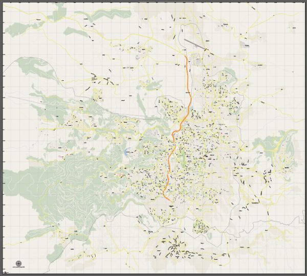
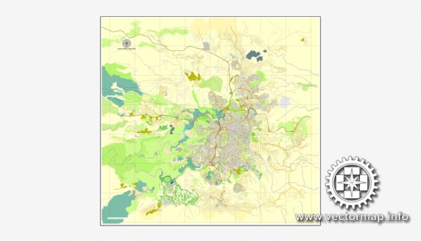
Jerusalem, one of the oldest cities in the world, has a rich history that spans thousands of years. The city holds great significance for three major monotheistic religions—Judaism, Christianity, and Islam.
Vectormap.Net provide you with the most accurate and up-to-date vector maps in Adobe Illustrator, PDF and other formats, designed for editing and printing. Please read the vector map descriptions carefully.
Its history is deeply intertwined with religious, cultural, and geopolitical events.
Historical Overview:
- Ancient Periods (Bronze Age to Roman Rule):
- Bronze Age: Jerusalem’s history dates back to the Bronze Age, and it is mentioned in ancient texts such as the Bible. It was initially a Canaanite city.
- Davidic Kingdom: King David conquered Jerusalem around 1000 BCE, establishing it as the capital of the Kingdom of Israel.
- Solomonic Temple: Solomon, David’s son, built the First Temple in the city, becoming a central religious and political site.
- Babylonian Exile and Persian Rule:
- The Babylonians destroyed the First Temple in 586 BCE, leading to the Babylonian exile of the Jewish population.
- The Persian Empire subsequently conquered Babylon, allowing some Jews to return and rebuild the Temple.
- Hellenistic and Roman Period:
- The Hellenistic period saw the city under the control of various successors to Alexander the Great.
- The Romans captured Jerusalem in 63 BCE, and Herod the Great extensively renovated the Second Temple, which became known as Herod’s Temple.
- Byzantine and Islamic Periods:
- The Byzantines ruled Jerusalem until the 7th century when it fell to the Arab Muslims led by Caliph Umar.
- Jerusalem became a significant Islamic city, and the Dome of the Rock and Al-Aqsa Mosque were constructed on the Temple Mount.
- Crusader and Ottoman Periods:
- The Crusaders captured Jerusalem in 1099, establishing the Kingdom of Jerusalem.
- The city later fell to Saladin in 1187, and the Ottoman Empire took control in 1517.
- British Mandate and Modern Era:
- Jerusalem was part of the British Mandate from 1917 to 1948.
- The United Nations proposed the internationalization of Jerusalem in 1947, but the city was divided following the 1948 Arab-Israeli War, with the western part controlled by Israel and the eastern part by Jordan.
- Six-Day War and Contemporary Period:
- In 1967, during the Six-Day War, Israel captured East Jerusalem, including the Old City, from Jordan.
- Jerusalem was subsequently annexed by Israel, a move not recognized by most of the international community.
Transportation Infrastructure:
1. Roads and Highways:
- Jerusalem has a network of roads and highways connecting it to other cities in Israel and the West Bank.
- The Jerusalem-Tel Aviv Highway (Highway 1) is a major route connecting Jerusalem to Tel Aviv.
2. Public Transportation:
- Buses: Egged and other bus companies operate within the city and provide transportation to neighboring areas.
- Light Rail: The Jerusalem Light Rail system, inaugurated in 2011, connects various parts of the city, including the Old City and suburban areas.
3. Airports:
- While Jerusalem does not have its own airport, Ben Gurion International Airport near Tel Aviv serves as the main gateway to the region.
4. Historical Sites and Landmarks:
- Many historical sites, including the Western Wall, Church of the Holy Sepulchre, and Dome of the Rock, are within the Old City and are accessible by foot.
5. Challenges:
- The status of Jerusalem has been a source of conflict due to competing territorial claims and the city’s significance to multiple religions.
Jerusalem’s history and infrastructure reflect the complexities of its diverse cultural, religious, and political heritage. The city continues to be a focal point of global attention and remains a symbol of historical and spiritual significance.


 Author: Kirill Shrayber, Ph.D.