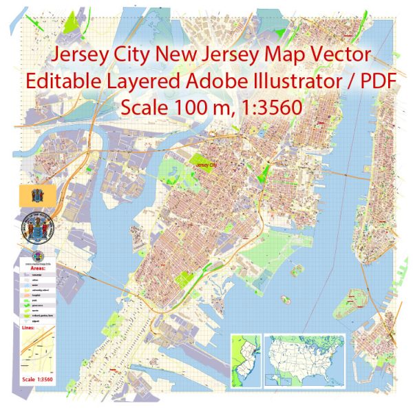
Jersey City, located in the U.S. state of New Jersey, has a rich history dating back to its Native American origins.
Vectormap.Net provide you with the most accurate and up-to-date vector maps in Adobe Illustrator, PDF and other formats, designed for editing and printing. Please read the vector map descriptions carefully.
Here is a detailed overview of the history and main streets of Jersey City:
History:
- Native American Inhabitants: Before European colonization, the area that is now Jersey City was inhabited by the Lenape Native Americans. They lived along the shores of the Hudson River and engaged in fishing and agriculture.
- Dutch and English Colonization: The Dutch were the first Europeans to settle in the region in the early 17th century, followed by the English who took control in 1664. The area was initially part of the Province of New Netherland and later became part of the Province of New Jersey.
- Industrialization: In the 19th century, Jersey City experienced significant industrial growth, thanks to its strategic location along the Hudson River. The development of railroads, canals, and the establishment of industries such as manufacturing and shipping contributed to its economic prosperity.
- Ellis Island: Jersey City played a crucial role in the immigration history of the United States. Ellis Island, the nation’s primary immigration processing center from 1892 to 1954, is located just offshore, and many immigrants passed through Jersey City on their way to starting a new life in America.
- Urbanization and Immigration: The 20th century saw further urbanization and a diverse influx of immigrants, contributing to the city’s cultural richness. Jersey City’s waterfront became a major transportation hub and an important center for commerce.
- Urban Renewal: In the late 20th century, Jersey City underwent urban renewal efforts, revitalizing its waterfront and downtown areas. Abandoned industrial spaces were repurposed into residential and commercial developments, transforming the city’s landscape.
Main Streets:
- Newark Avenue: This bustling street is at the heart of downtown Jersey City. Lined with shops, restaurants, and cultural attractions, Newark Avenue reflects the city’s vibrant and diverse atmosphere. It is a popular destination for shopping, dining, and entertainment.
- Grove Street: Another key downtown street, Grove Street is known for its historic brownstones, trendy boutiques, and a variety of dining options. The Grove Street PATH station makes it a transportation hub and a central point for locals and visitors alike.
- Martin Luther King Drive: Formerly known as Jackson Avenue, this street is a major thoroughfare running through the heart of Jersey City. It plays a significant role in the city’s African American history and is home to various cultural institutions.
- Montgomery Street: Connecting the downtown area to Journal Square, Montgomery Street is a bustling thoroughfare with a mix of residential and commercial spaces. It reflects the city’s diversity and offers a glimpse into its evolving urban landscape.
- Ocean Avenue: Running along the eastern edge of Jersey City, Ocean Avenue offers views of the Hudson River and the Manhattan skyline. It is a mix of residential neighborhoods, parks, and recreational areas.
Jersey City’s history and main streets showcase a city that has evolved from an industrial hub to a diverse, culturally rich urban center with a blend of historic charm and modern development.


 Author: Kirill Shrayber, Ph.D. FRGS