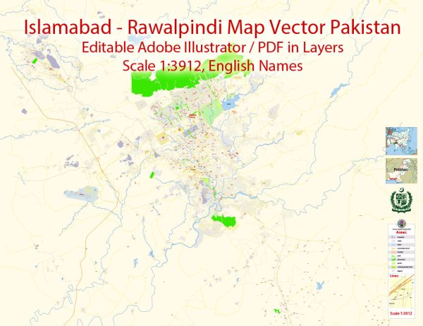
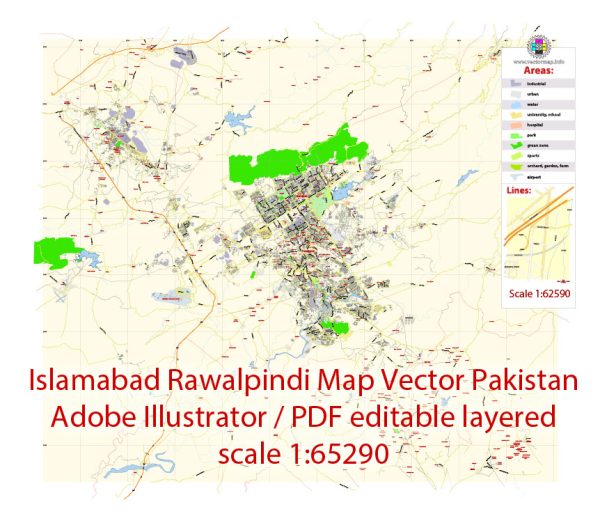
Islamabad and Rawalpindi are twin cities located in the northern part of Pakistan. While they are separate administrative entities, they are often referred to as the “twin cities” due to their close proximity and interdependence.
Vectormap.Net provide you with the most accurate and up-to-date vector maps in Adobe Illustrator, PDF and other formats, designed for editing and printing. Please read the vector map descriptions carefully.
Let’s explore the economic and transport connections between Islamabad and Rawalpindi:
Economic Connections:
- Government and Administration:
- Islamabad is the capital city of Pakistan and serves as the political and administrative center of the country.
- Many government offices, foreign embassies, and diplomatic missions are located in Islamabad, contributing significantly to the economic activities in the city.
- Rawalpindi, being adjacent to Islamabad, also houses various government offices and military installations.
- Business and Commercial Activities:
- Both cities have a robust business and commercial sector with numerous markets, shopping centers, and industrial areas.
- Islamabad is known for its modern infrastructure, which attracts businesses and multinational companies.
- Educational and Research Institutions:
- Islamabad is home to several prestigious educational and research institutions, including universities, research centers, and think tanks.
- Rawalpindi also has educational institutions and contributes to the overall intellectual capital of the region.
- Healthcare Services:
- Both cities have well-established healthcare facilities, including hospitals and clinics, catering to the healthcare needs of the population.
- Real Estate and Housing:
- The real estate market in Islamabad is significant, with various residential and commercial developments.
- Rawalpindi, being adjacent, experiences spillover effects from Islamabad’s real estate activities.
Transport Connections:
- Road Network:
- Islamabad and Rawalpindi are connected by a well-developed road network, making it easy for people to commute between the two cities.
- The Islamabad Expressway and Murree Road are vital arteries that connect the two cities.
- Public Transportation:
- Both cities have public transportation systems, including buses and vans, facilitating the movement of people.
- The Metrobus service connects key areas in Islamabad and Rawalpindi, providing a rapid transit option.
- Air Transportation:
- Islamabad is served by the Benazir Bhutto International Airport, which is the primary airport for the region.
- The airport also serves Rawalpindi and the neighboring areas, enhancing connectivity for domestic and international travel.
- Railway Connectivity:
- Rawalpindi is a major railway hub, and the Rawalpindi Railway Station serves as an important transportation link.
- While Islamabad does not have a dedicated railway station, Rawalpindi’s railway facilities contribute to overall connectivity in the region.
- Future Developments:
- Ongoing and future infrastructure projects aim to enhance connectivity further, making transportation between Islamabad and Rawalpindi more efficient.
In summary, Islamabad and Rawalpindi share a strong economic and social connection, with a well-developed transport network facilitating seamless movement between the two cities. The proximity of these twin cities contributes to the overall economic development and cultural exchange in the region.


 Author: Kirill Shrayber, Ph.D. FRGS