Ireland, located to the northwest of continental Europe, has a rich political and transportation history. The island has been inhabited for thousands of years, and its history is marked by a complex interplay of tribal societies, invasions, and colonial rule.
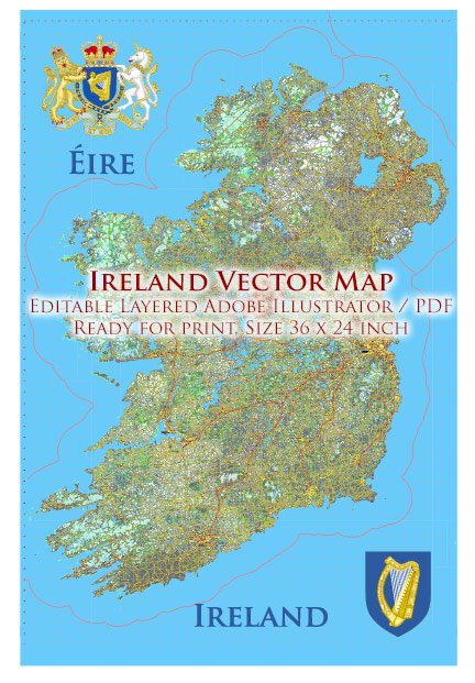
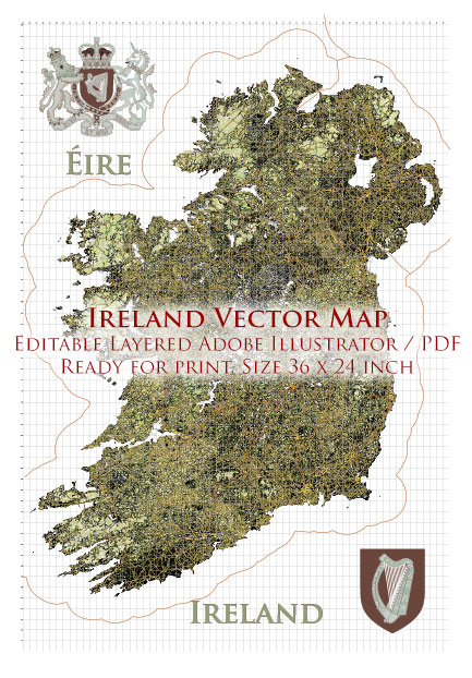
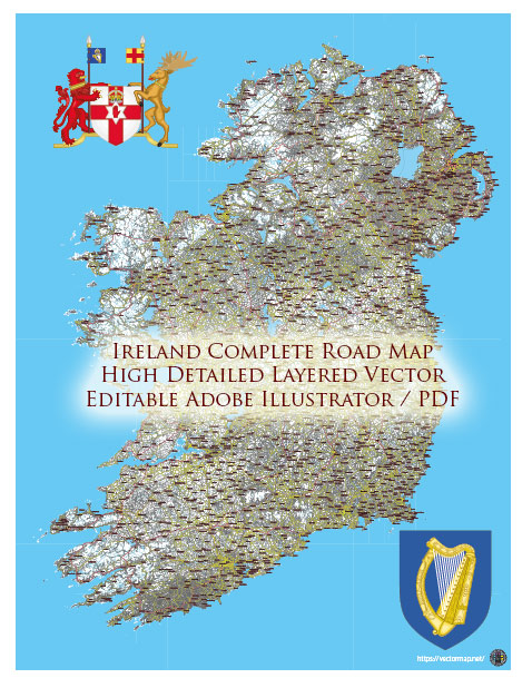
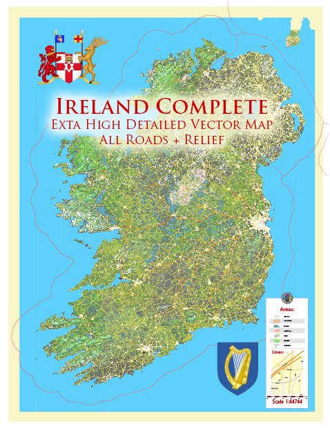
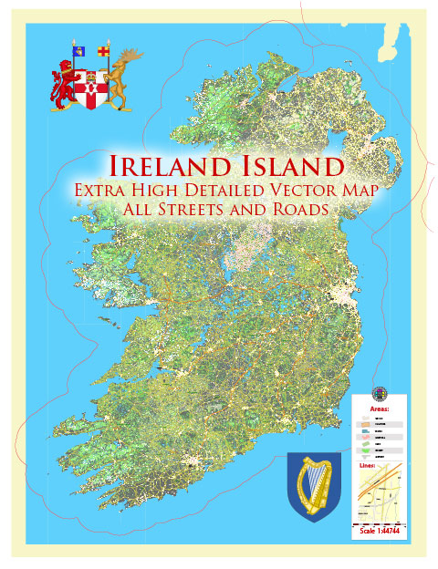
Vectormap.Net provide you with the most accurate and up-to-date vector maps in Adobe Illustrator, PDF and other formats, designed for editing and printing. Please read the vector map descriptions carefully.
Below is a detailed overview of the political and transportation history of Ireland:
Political History:
Ancient Period:
- Prehistoric Ireland: Archaeological evidence suggests human presence in Ireland as far back as 10,000 BCE. The island’s early inhabitants were hunter-gatherers and later engaged in agriculture.
- Celtic Influence: From around 500 BCE, Celtic tribes migrated to Ireland, bringing with them their culture, language (Gaelic), and social structures. Ireland became a collection of independent tribal kingdoms.
Medieval Period:
- Christianization: In the 5th and 6th centuries, Ireland experienced the spread of Christianity, largely attributed to figures like St. Patrick. Monastic centers, such as those at Clonmacnoise and Glendalough, played a crucial role in preserving knowledge and culture.
- Viking Invasions: Beginning in the 8th century, Vikings raided and established settlements in Ireland. Dublin, founded by Vikings in the 9th century, became a significant trading hub.
Norman Conquest and English Rule:
- Norman Invasion (12th century): In 1169, Anglo-Norman forces arrived in Ireland, leading to the gradual conquest of the island by the English Crown. The Normans established feudal systems, with the English monarchy asserting control over Ireland.
- Colonial Period (16th–17th centuries): English control intensified, leading to the Plantations of Ireland, where English and Scottish settlers were granted land confiscated from Irish landowners. The religious conflicts of the time, notably between Catholics and Protestants, added to the complexity of Irish society.
- Cromwellian Period: The mid-17th century saw the brutal rule of Oliver Cromwell in Ireland, leading to widespread devastation and the confiscation of land.
18th and 19th Centuries:
- Penal Laws: Discriminatory Penal Laws were enacted against Catholics, limiting their rights and reinforcing Protestant dominance.
- Great Famine (1845–1852): The potato blight led to a devastating famine, causing mass emigration and a decline in Ireland’s population.
20th Century:
- Easter Rising (1916): A rebellion against British rule took place in Dublin, leading to the establishment of the Irish Free State in 1922.
- Irish Free State: Ireland gained partial independence but remained within the British Commonwealth until fully declaring itself a republic in 1949.
- Northern Ireland: The partition of Ireland in 1921 created Northern Ireland, which remained part of the United Kingdom. The “Troubles” (1969–1998) marked a period of conflict between nationalist Catholics and unionist Protestants.
- Good Friday Agreement (1998): A peace agreement was reached, fostering a more stable political climate and power-sharing arrangements in Northern Ireland.
Transportation History:
Ancient and Medieval Periods:
- Roads and Tracks: Ancient Ireland had a network of roads and tracks connecting various settlements. These routes were often established by local chieftains.
- Waterways: Rivers and coastal routes were crucial for transportation, facilitating trade and communication. Vikings, with their longships, utilized Ireland’s waterways extensively.
17th–19th Centuries:
- Turnpike Roads: In the 18th century, turnpike trusts were established to maintain and improve roads, funded by tolls. This period saw advancements in road infrastructure.
- Canals: Canal construction, such as the Grand Canal and Royal Canal, took place in the late 18th and early 19th centuries, enhancing inland water transportation.
- Railways: The mid-19th century witnessed the rapid expansion of railways, connecting major cities and industrial centers. Rail transport played a crucial role in facilitating trade and passenger travel.
20th Century and Beyond:
- Motor Vehicles: The 20th century saw a shift towards motorized transportation, with the development of an extensive road network and the rise of automobiles and buses.
- Aviation: Air travel became prominent in the latter half of the 20th century, with airports like Dublin Airport serving as international gateways.
- Modernization: Ongoing efforts continue to modernize and expand Ireland’s transportation infrastructure, including motorways, railways, and public transit systems.
Ireland’s political and transportation history reflects a complex interweaving of local dynamics, external influences, and a constant evolution of systems and structures over the centuries. The country has overcome numerous challenges to emerge as a modern, dynamic nation with a unique cultural heritage.

 Author: Kirill Shrayber, Ph.D. FRGS