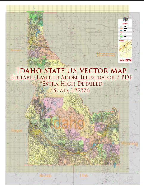
A general overview of Idaho’s main cities and its road network.
Vectormap.Net provide you with the most accurate and up-to-date vector maps in Adobe Illustrator, PDF and other formats, designed for editing and printing. Please read the vector map descriptions carefully.
Main Cities in Idaho:
- Boise:
- The capital and largest city of Idaho, located in the southwestern part of the state.
- Known for its outdoor recreational opportunities, cultural attractions, and a growing tech industry.
- Meridian:
- A rapidly growing city near Boise, known for its family-friendly atmosphere and suburban feel.
- Nampa:
- Situated to the west of Boise, it’s one of the state’s largest cities.
- Agriculture plays a significant role in the economy, and the city hosts various events and festivals.
- Idaho Falls:
- Located in the southeastern part of the state.
- Known for the Idaho National Laboratory and its proximity to outdoor attractions like Yellowstone National Park.
- Pocatello:
- In the southeastern part of the state.
- Home to Idaho State University and known for its outdoor activities.
- Twin Falls:
- Located in the southern part of Idaho.
- Famous for Shoshone Falls, often referred to as the “Niagara of the West.”
Roads:
Toll Roads:
- As of my last update, Idaho did not have major toll roads. However, this can change, and it’s essential to check for any updates from official sources.
Free Roads:
- Idaho has an extensive network of highways and roads, including several major interstates and state routes.
- Interstate Highways: I-84 runs east-west through the southern part of the state, connecting Boise to the Oregon border. I-15 runs north-south, connecting Idaho Falls to the Utah border.
- U.S. Highways: U.S. Route 20, U.S. Route 93, and U.S. Route 95 are some of the key U.S. highways traversing the state.
- State Routes: Idaho has an extensive network of state highways, connecting cities and rural areas. Examples include State Highway 55, which connects Boise to McCall, and State Highway 21, known as the Ponderosa Pine Scenic Byway.
- Scenic Byways: Idaho features several scenic byways, offering breathtaking views of the state’s diverse landscapes. Examples include the Salmon River Scenic Byway and the Sawtooth Scenic Byway.
For the most up-to-date and specific information on Idaho’s roads, tolls, and infrastructure, consider checking with the Idaho Transportation Department or other official state sources.


 Author: Kirill Shrayber, Ph.D. FRGS