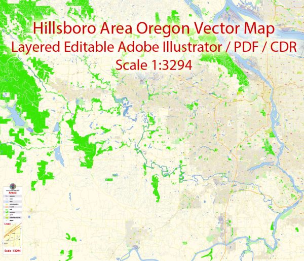
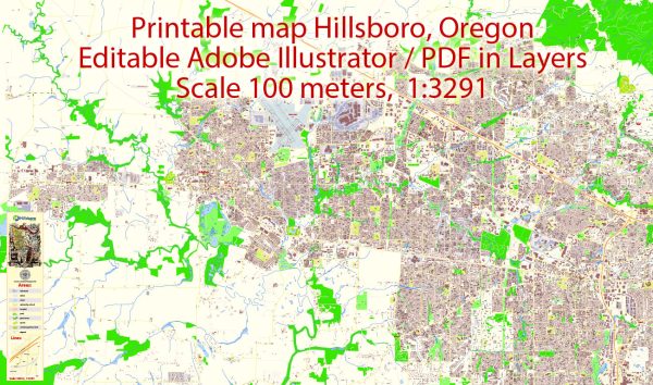
A general overview of the history of Hillsboro, Oregon, and its street system.
Vectormap.Net provide you with the most accurate and up-to-date vector maps in Adobe Illustrator, PDF and other formats, designed for editing and printing. Please read the vector map descriptions carefully.
Hillsboro, Oregon: Overview
Early History:
- The area that is now Hillsboro was originally inhabited by the Kalapuya, a Native American tribe.
- European-American settlers arrived in the mid-19th century, and the Tualatin Plains became a hub for agriculture and logging.
Incorporation and Growth:
- Hillsboro was officially incorporated in 1876.
- The city saw significant growth in the late 19th and early 20th centuries, fueled by industries such as farming, logging, and the railroad.
- During the 20th century, Hillsboro experienced economic diversification with the establishment of technology-related industries.
Economic Shift to Technology:
- The city became a major technology hub in the late 20th and early 21st centuries, attracting companies in the semiconductor and technology sectors. Intel, one of the world’s largest semiconductor companies, has a significant presence in Hillsboro.
Street System:
Grid Layout:
- Like many cities in the United States, Hillsboro follows a grid layout for its streets. This makes navigation relatively straightforward.
Main Streets:
- Tualatin Valley Highway (TV Highway) is a major thoroughfare that runs through Hillsboro, connecting it to neighboring communities.
- Baseline Road, also known as Farmington Road, is another important east-west corridor.
Downtown Area:
- Hillsboro’s downtown area features a mix of historic and modern buildings.
- Main Street in downtown Hillsboro is a focal point for local businesses, restaurants, and community events.
Urban Planning:
- The city has engaged in urban planning efforts to accommodate its growing population while preserving green spaces and maintaining a balance between residential and commercial areas.
- As the technology sector expanded, the city likely experienced additional infrastructure development to support the needs of businesses and residents.
Conclusion:
Hillsboro, Oregon, has a rich history that spans from its Native American roots to its development as a bustling city with a diverse economy. The street system, like many American cities, is organized in a grid pattern, with major thoroughfares facilitating transportation within and beyond the city. The city’s economic growth, particularly in the technology sector, has likely influenced its urban development in recent years. For the most up-to-date information on Hillsboro’s history and street system, it’s recommended to consult local historical records and city planning documents.


 Author: Kirill Shrayber, Ph.D. FRGS