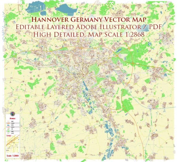
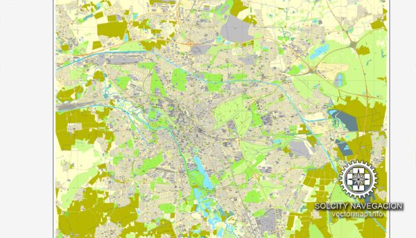
A general overview of the history and transportation infrastructure of Hanover, Germany.
Vectormap.Net provide you with the most accurate and up-to-date vector maps in Adobe Illustrator, PDF and other formats, designed for editing and printing. Please read the vector map descriptions carefully.
History of Hanover:
- Medieval Period: Hanover’s history dates back to medieval times when it was a small village. Over the centuries, it grew in importance and became a member of the Hanseatic League, a medieval trading alliance.
- 17th and 18th Centuries: In the 17th century, Hanover became the capital of the Electorate of Hanover, which later became a kingdom. The personal union of the crowns of the United Kingdom and Hanover (1714–1837) played a significant role in the city’s history.
- 19th and 20th Centuries: Hanover witnessed industrialization in the 19th century and suffered significant damage during World War II. After the war, it underwent reconstruction and became a major economic and cultural center.
Transportation Infrastructure:
- Road Network: Hanover has a well-developed road network, including autobahns (highways) and federal highways. The A2 and A7 autobahns intersect near the city, facilitating convenient road travel.
- Public Transportation: The city has an efficient public transportation system, including buses and trams operated by üstra, the local transport company. The Hanover Stadtbahn (light rail) network provides convenient connectivity within the city and its suburbs.
- Rail Transport: Hanover is a major railway hub in Germany. Hauptbahnhof, the central railway station, is a key transportation node connecting various national and international rail lines. High-speed trains such as ICE (InterCityExpress) also serve Hanover.
- Air Transport: Hanover Airport (Flughafen Hannover-Langenhagen) is an international airport located north of the city center. It serves as a gateway for both domestic and international flights.
- Port: While Hanover is not a coastal city, it is connected to the Mittelland Canal, a major inland waterway. The canal facilitates the transport of goods by ship, contributing to the city’s overall transportation infrastructure.
- Cycling Infrastructure: Like many German cities, Hanover has a well-developed cycling infrastructure, including dedicated bike lanes and bike-sharing programs, promoting sustainable and environmentally friendly transportation.
- Hanover Messe: Hanover hosts one of the world’s largest industrial trade fairs, the Hanover Messe, showcasing innovations in technology and industry. The fairgrounds are well-connected to the city’s transportation network.
Hanover’s history and transportation infrastructure reflect its evolution from a medieval trading hub to a modern city with diverse and well-connected transportation options. For the most up-to-date information, it is recommended to check recent sources or official city publications.


 Author: Kirill Shrayber, Ph.D. FRGS