Haifa, located in northern Israel, is a city with a rich history and a diverse urban fabric. The city has evolved over the centuries, shaped by various historical, cultural, and geopolitical influences.
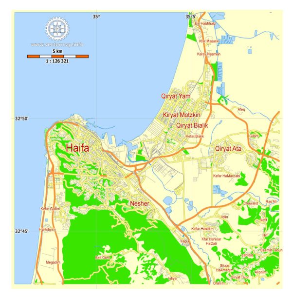
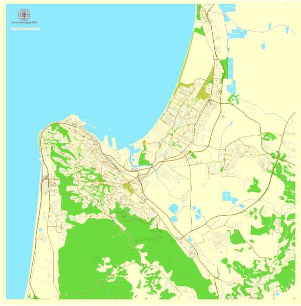
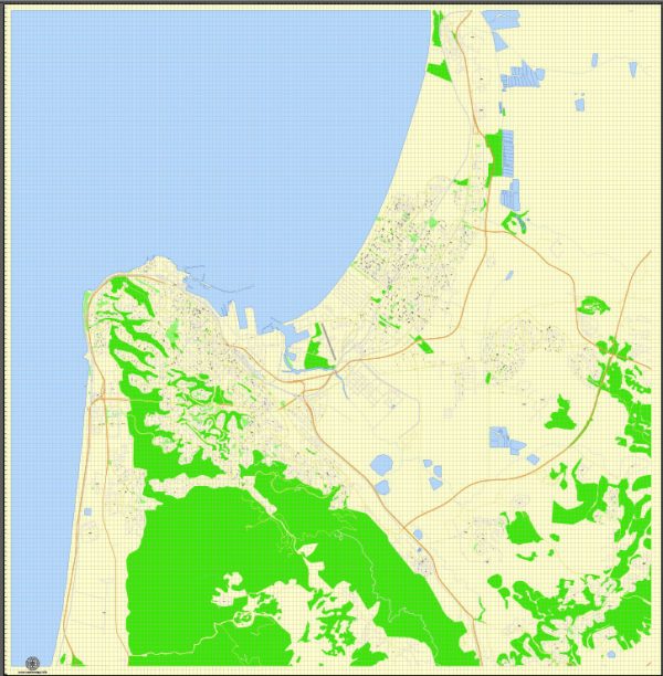
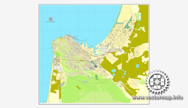
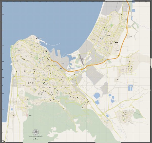
Vectormap.Net provide you with the most accurate and up-to-date vector maps in Adobe Illustrator, PDF and other formats, designed for editing and printing. Please read the vector map descriptions carefully.
Historical Overview:
- Ancient History:
- Haifa’s history dates back thousands of years. The city has been inhabited since ancient times, with evidence of settlements from the Bronze Age.
- The city’s strategic location along the Mediterranean coast has made it a key port and trade center for various civilizations, including the Phoenicians, Persians, Greeks, Romans, and Byzantines.
- Islamic Period:
- Haifa became part of the Islamic Caliphate in the 7th century. During this time, the city flourished as a trading hub.
- The Crusaders captured Haifa in the 12th century, and it changed hands between Muslim and Crusader rule several times.
- Ottoman Rule:
- The Ottoman Empire ruled over Haifa from the 16th century until the early 20th century. During this time, the city’s population grew, and it became an important administrative center.
- British Mandate:
- After World War I, the League of Nations granted Britain the mandate to govern Palestine, and Haifa became a part of the British Mandate.
- The city experienced significant growth during this period, with the development of its port and infrastructure.
- Post-Independence Era:
- Haifa played a crucial role in the 1948 Arab-Israeli War, and the city was a major industrial and naval center.
- After the establishment of the State of Israel, Haifa continued to grow and became a center for industry, technology, and academia.
Street System and Urban Planning:
- Downtown Haifa:
- Haifa’s downtown area is characterized by a mix of modern and historic architecture. The German Colony, established in the 19th century, is known for its well-preserved architecture and vibrant atmosphere.
- Port Area:
- The port of Haifa is one of the busiest in the region and has been a crucial factor in the city’s development. The industrial zones around the port contribute to the city’s economic activity.
- Mount Carmel:
- The city extends onto the slopes of Mount Carmel, and residential neighborhoods are scattered across the hills. The topography influences the street layout, with some areas featuring winding roads that follow the natural contours of the land.
- Public Transportation:
- Haifa has a well-developed public transportation system, including buses and the Carmelit, an underground funicular railway. These transportation options facilitate movement within the city and connect it with other parts of Israel.
- Cultural and Educational Centers:
- Haifa is home to several cultural and educational institutions, including the University of Haifa and the Technion – Israel Institute of Technology. These institutions contribute to the city’s vibrant and diverse character.
Overall, Haifa’s urban history is a reflection of its diverse cultural influences and strategic importance. The city’s street system has evolved to accommodate both its historical heritage and the demands of a modern, bustling urban center.

 Author: Kirill Shrayber, Ph.D. FRGS