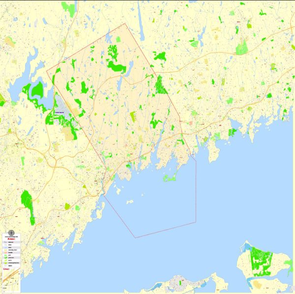
Greenwich, Connecticut, located in Fairfield County, is a wealthy and picturesque town that has a rich history and a well-developed transportation infrastructure.
Vectormap.Net provide you with the most accurate and up-to-date vector maps in Adobe Illustrator, PDF and other formats, designed for editing and printing. Please read the vector map descriptions carefully.
Here’s a detailed overview:
History:
Native American Inhabitants:
The history of Greenwich dates back to pre-colonial times when the region was inhabited by the Siwanoy and other Algonquian-speaking Native American tribes.
European Settlement:
In 1640, a group of settlers led by Captain Daniel Patrick purchased land from the Siwanoy and established a settlement called “Horseneck.” The area gradually developed, and in 1665, it officially became part of the Connecticut Colony.
American Revolution:
During the American Revolution, Greenwich played a role in the struggle for independence. The town witnessed some military actions, including the Battle of Horse Neck in 1779.
Economic Growth:
In the 19th century, Greenwich transformed from a primarily agricultural community to a thriving center of commerce. The arrival of the railroad in the 1840s facilitated the transportation of goods and people, contributing to the town’s economic growth.
Gilded Age:
Greenwich became a popular destination for wealthy New Yorkers during the Gilded Age (late 19th to early 20th century). Many affluent families built grand estates along the Long Island Sound, contributing to the town’s reputation as a haven for the elite.
Transportation Infrastructure:
Roads:
Greenwich has an extensive road network, including major routes like Interstate 95 and the Merritt Parkway. These highways provide convenient access to neighboring towns and cities, as well as New York City.
Railroads:
The arrival of the railroad in the mid-19th century significantly impacted Greenwich’s development. The town is served by the Metro-North Railroad’s New Haven Line, connecting it to Grand Central Terminal in New York City. Commuters rely on the Greenwich train station for daily travel.
Airports:
While Greenwich doesn’t have its own airport, residents often use nearby airports such as Westchester County Airport in New York and the larger airports in the New York metropolitan area, like LaGuardia Airport and John F. Kennedy International Airport.
Maritime Transportation:
Given its location along the Long Island Sound, Greenwich has a history tied to maritime activities. While not a major commercial port, the town has several marinas and yacht clubs, reflecting its affluent and maritime-oriented community.
Public Transportation:
In addition to the Metro-North Railroad, Greenwich offers local bus services to connect different neighborhoods within the town and provide public transportation options.
Contemporary Developments:
Greenwich continues to be a desirable residential area with a strong economy. The town’s infrastructure has evolved to accommodate modern needs, maintaining its appeal as a suburban enclave with proximity to New York City.
In summary, Greenwich, Connecticut, has a rich history that spans centuries, and its transportation infrastructure has adapted to meet the changing needs of its residents, from the agricultural beginnings to the Gilded Age opulence and the modern suburban lifestyle.


 Author: Kirill Shrayber, Ph.D. FRGS