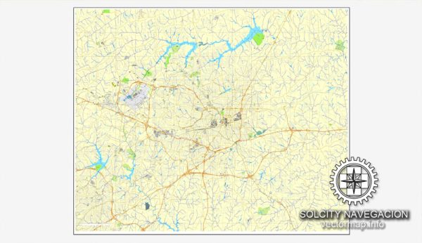
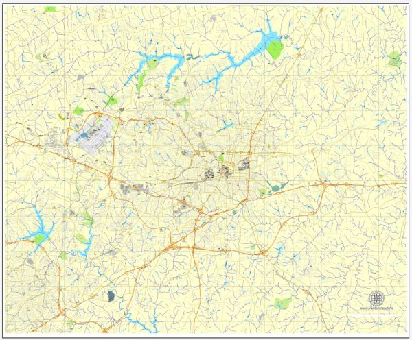
A general overview of the history and road system of Greensboro, North Carolina.
Vectormap.Net provide you with the most accurate and up-to-date vector maps in Adobe Illustrator, PDF and other formats, designed for editing and printing. Please read the vector map descriptions carefully.
History:
- Early Settlement: Greensboro was established in 1808 and named after General Nathanael Greene, a Revolutionary War hero. The area was originally settled by Quakers and became a significant trading and transportation center.
- Civil Rights Movement: Greensboro gained national attention during the Civil Rights Movement in the 1960s. The Greensboro sit-ins, where four African American students staged a protest at a segregated Woolworth’s lunch counter, played a pivotal role in the struggle for civil rights.
- Economic Growth: Over the years, Greensboro has experienced economic growth, becoming a hub for textiles, tobacco, and transportation. The city has diversified its economy, attracting industries such as finance, healthcare, and technology.
- Educational Institutions: Greensboro is home to several educational institutions, including the University of North Carolina at Greensboro (UNCG), North Carolina A&T State University, and Guilford College.
Road System:
- Interstate Highways: Greensboro is intersected by major interstate highways, including I-40 and I-85. These highways facilitate regional and national connectivity, making Greensboro a key transportation hub in North Carolina.
- US Highways: U.S. Route 29 runs through Greensboro, connecting the city with other major cities in North Carolina and beyond. Other U.S. highways, such as US-70 and US-220, also contribute to the city’s transportation infrastructure.
- State Highways: North Carolina State Highway 68 and State Highway 150 are examples of state highways that serve Greensboro, providing important connections within the region.
- Local Roads: Greensboro has a well-developed network of local roads and streets. The city’s road system is designed to accommodate the needs of residents, businesses, and visitors.
- Public Transportation: Greensboro offers public transportation services through the Greensboro Transit Agency (GTA), which operates bus routes throughout the city and surrounding areas.
- Recent Developments: Greensboro has undergone various infrastructure developments to address the growing needs of its population. These may include road expansions, improvements, and the implementation of modern traffic management systems.
For the most current and detailed information on Greensboro’s history and road system, it is recommended to check local historical archives, city planning documents, and official transportation department resources, as they provide the latest updates on developments and projects in the area.


 Author: Kirill Shrayber, Ph.D. FRGS