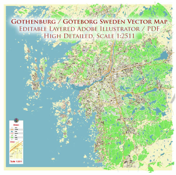
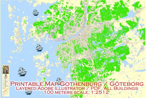
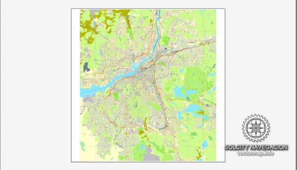
A general overview of the history and transportation infrastructure of Gothenburg, Sweden.
Vectormap.Net provide you with the most accurate and up-to-date vector maps in Adobe Illustrator, PDF and other formats, designed for editing and printing. Please read the vector map descriptions carefully.
History:
- Foundation: Gothenburg, or Göteborg in Swedish, was founded in 1621 by King Gustavus Adolphus of Sweden. The city was established as a strategic seaport and trade center on the west coast of Sweden.
- Trade and Industry: Over the centuries, Gothenburg developed into a significant maritime and industrial hub. Its location on the Göta River and proximity to the North Sea made it a key player in trade and shipping.
- Industrial Revolution: The 19th century saw the city’s rapid industrialization, with the establishment of various manufacturing industries, including shipbuilding and the creation of the Göta Canal, connecting Gothenburg to the Baltic Sea.
- World Wars and Post-War Era: Gothenburg faced challenges during the World Wars, but it rebounded in the post-war period. The city continued to grow economically and culturally.
Transportation Infrastructure: Gothenburg has a well-developed and integrated transportation infrastructure that includes various modes of transport.
- Public Transportation: The city has an extensive public transportation system operated by Västtrafik. This system includes buses, trams, and ferries, providing efficient and well-connected services within the city and its surrounding areas.
- Trams: Gothenburg is known for its extensive tram network, which has been in operation since the late 19th century. The trams play a crucial role in the city’s public transportation system, providing a reliable means of commuting.
- Roads and Highways: Gothenburg is well-connected by road, with a network of highways and roads facilitating both intra-city and inter-city travel. The E6 motorway connects Gothenburg to Oslo in Norway and Malmö in Sweden.
- Port: The Port of Gothenburg is one of the largest and busiest seaports in Scandinavia, handling a significant amount of cargo and container traffic. It contributes significantly to the city’s economic activity.
- Rail Network: Gothenburg has a central railway station, connecting the city to other major cities in Sweden and beyond. The railway system is an integral part of the country’s transportation network.
- Airports: The city is served by the Göteborg Landvetter Airport, which is the primary international airport in the region. It facilitates air travel for both passengers and cargo.
- Cycling Infrastructure: Gothenburg is also known for its bike-friendly environment, with dedicated cycling lanes and a bike-sharing program, encouraging sustainable and healthy transportation.
It’s important to check for any updates or changes in the transportation infrastructure, as cities continually evolve and improve their systems. For the latest and most accurate information, you may want to consult local sources or official city websites.


 Author: Kirill Shrayber, Ph.D. FRGS