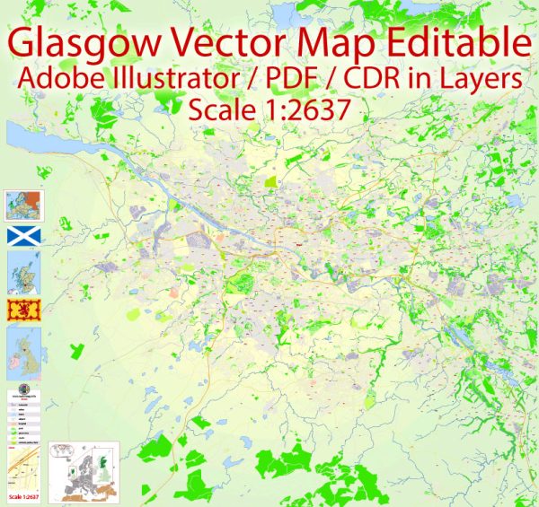
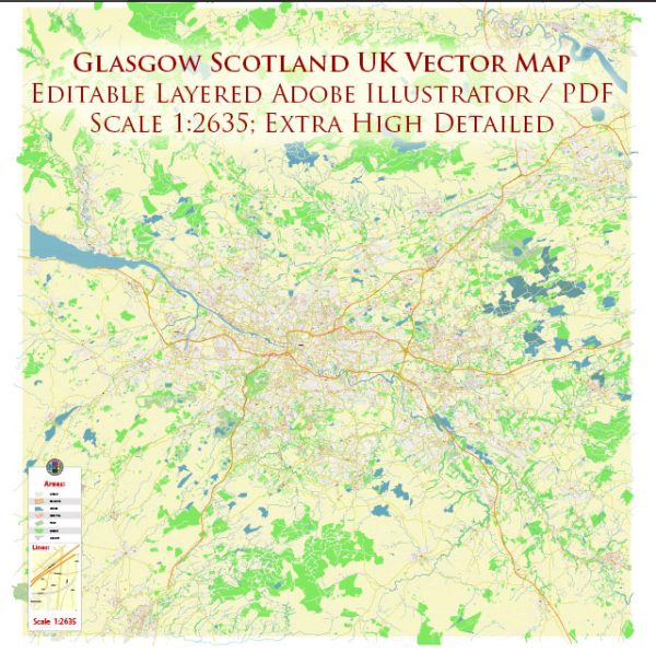
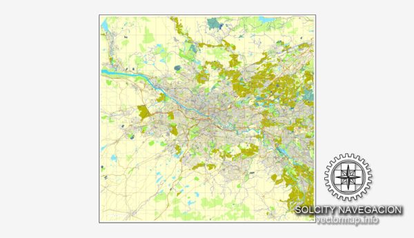
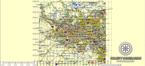
Glasgow, located in Scotland, United Kingdom, has a rich history that has influenced the development of its road system.
Vectormap.Net provide you with the most accurate and up-to-date vector maps in Adobe Illustrator, PDF and other formats, designed for editing and printing. Please read the vector map descriptions carefully.
Here is a brief overview:
Historical Background:
- Medieval Period (Pre-18th Century): Glasgow’s origins can be traced back to the medieval period. The city’s name is derived from the Gaelic words “Glas” and “Cu,” meaning “green hollow” or “dear green place.” During this time, Glasgow was primarily a religious center with a cathedral and a university.
- Industrial Revolution (18th-19th Century): The city experienced significant growth during the Industrial Revolution, becoming a major industrial and trading hub. This period saw the expansion of the road network to facilitate transportation of goods and materials.
Road Development:
- 18th Century:
- Early roads were often narrow and winding, reflecting the organic growth of the city.
- The Clyde River played a crucial role in the transportation of goods, and early roads connected the city to ports along the river.
- 19th Century:
- With the rise of industry, roads were improved to accommodate increased traffic and the transportation of goods.
- The expansion of the railway network in the 19th century influenced road development, as roads were built to connect industrial areas to railway stations.
- 20th Century:
- The advent of the automobile led to further developments in the road system. Urban planning projects aimed to modernize and streamline roadways.
- Motorways and major roads were constructed to improve connectivity within the city and connect Glasgow to other regions.
Notable Roads and Developments:
- M8 Motorway:
- The M8 is a major motorway that runs through the heart of Glasgow, connecting the city with Edinburgh to the east and other major towns in the west.
- Various phases of development have expanded and upgraded the M8 over the years.
- Clyde Tunnel:
- The Clyde Tunnel, opened in 1963, is a key river crossing allowing traffic to move under the River Clyde. It connects the districts of Whiteinch and Govan.
- Glasgow Inner Ring Road:
- The inner ring road encircles the city center, connecting various neighborhoods and facilitating traffic flow.
- Redevelopment Projects:
- Glasgow has undergone various urban regeneration projects, leading to improvements in road infrastructure in key areas.
Challenges and Future:
- Congestion:
- Like many urban centers, Glasgow faces challenges related to traffic congestion. Efforts are ongoing to manage and alleviate congestion through transportation planning and infrastructure improvements.
- Sustainable Transportation:
- There is an increasing emphasis on sustainable transportation, with initiatives to promote cycling, public transit, and pedestrian-friendly urban planning.
In summary, Glasgow’s road system has evolved over the centuries, shaped by its historical development, industrialization, and urban planning efforts. Ongoing initiatives aim to address contemporary challenges and create a more efficient and sustainable transportation network for the future.


 Author: Kirill Shrayber, Ph.D. FRGS