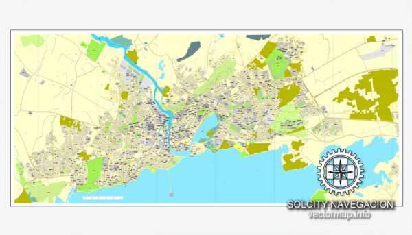
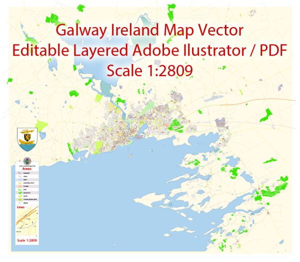
A general overview of the history and transportation infrastructure of Galway, Ireland.
Vectormap.Net provide you with the most accurate and up-to-date vector maps in Adobe Illustrator, PDF and other formats, designed for editing and printing. Please read the vector map descriptions carefully.
History:
- Early History: Galway has a rich history that dates back to medieval times. The city was founded in the early 13th century by the Anglo-Norman de Burgo family. It quickly developed into an important trading center, thanks to its strategic location on the River Corrib and proximity to the Atlantic Ocean.
- Trade and Commerce: Galway became a key hub for trade with Spain and France during the medieval period. The city’s merchants, known as the Tribes of Galway, played a significant role in its economic development.
- Colonial Period: In the 17th century, Galway faced challenges due to conflicts such as the Cromwellian conquest and the Williamite War. The city gradually declined in importance during this period.
- 19th Century: Galway experienced a revival in the 19th century with the development of the Claddagh fishing village and improvements in transportation, including the arrival of the railway in the mid-19th century.
- Modern Era: In the 20th and 21st centuries, Galway has seen significant growth and development, becoming a cultural and economic center in the west of Ireland.
Transportation Infrastructure:
- Roads: Galway is well-connected by road, with major national routes passing through the city. The M6 motorway links Galway with Dublin, providing a vital connection to the capital.
- Railways: Galway has a railway station, Ceannt Station, which provides services to Dublin and other major cities. The rail network facilitates both passenger and freight transport.
- Public Transport: The city has a public bus service operated by Bus Éireann, connecting various neighborhoods within Galway and linking the city to nearby towns and villages.
- Airport: While Galway does not have its own airport, Shannon Airport and Ireland West Airport Knock are the nearest international airports, providing air connectivity to various destinations.
- Port: The Port of Galway is an important maritime facility, handling cargo and providing access for passenger ferries. The port has played a crucial role in the city’s historical development as a trading hub.
- Bicycles and Pedestrian Infrastructure: Galway has made efforts to improve cycling and pedestrian infrastructure in recent years, promoting sustainable and environmentally friendly modes of transportation.
- Future Developments: As of my last update, plans for transportation infrastructure development in Galway included the expansion of road networks and improvements to public transportation to accommodate the city’s growing population.
For the most current and detailed information on Galway’s history and transportation infrastructure, it is recommended to check more recent sources and local authorities.


 Author: Kirill Shrayber, Ph.D. FRGS