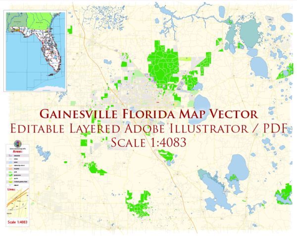
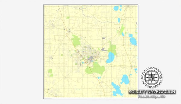
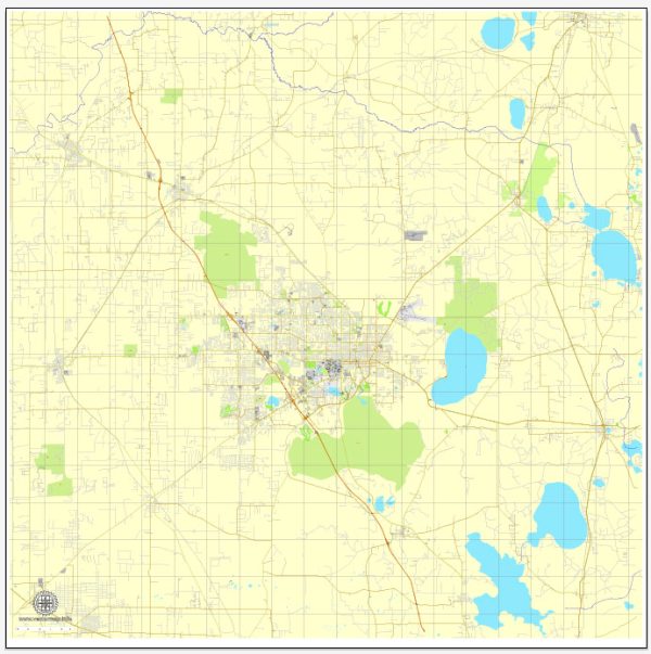
A general overview of the roads and streets infrastructure in Gainesville, Florida.
Vectormap.Net provide you with the most accurate and up-to-date vector maps in Adobe Illustrator, PDF and other formats, designed for editing and printing. Please read the vector map descriptions carefully.
Gainesville is a city in Alachua County, Florida, and it is home to the University of Florida. The road and street infrastructure in Gainesville includes various types of roads, highways, and streets that cater to the transportation needs of the city and its surrounding areas. Here’s a breakdown of the key components:
- Major Highways:
- Interstate 75 (I-75): Running north-south, I-75 is a major interstate highway passing through Gainesville. It connects the city with other major Florida cities like Tampa, Orlando, and Miami to the south, as well as Atlanta to the north.
- U.S. Route 441 (US 441): This highway passes through Gainesville, providing a north-south route through the city.
- State Roads:
- State Road 24 (SR 24): Running east-west, SR 24 provides access to the Gulf of Mexico and connects to Cedar Key.
- State Road 121 (SR 121): This state road connects Gainesville with Macclenny to the northeast.
- Local Roads and Streets:
- Gainesville has a grid-like street layout in many areas, with numbered streets running east-west and named streets running north-south.
- The downtown area features a network of streets hosting various businesses, restaurants, and cultural institutions.
- University Avenue: A major east-west road that runs through the heart of Gainesville, passing by the University of Florida campus.
- Archer Road: Another important east-west corridor, particularly for commercial areas and access to the Butler Plaza shopping district.
- Public Transportation:
- Gainesville Regional Transit System (RTS) operates bus services throughout the city, providing public transportation options for residents and visitors.
- Bicycle and Pedestrian Infrastructure:
- Gainesville has made efforts to enhance its bicycle and pedestrian infrastructure, with bike lanes, sidewalks, and multi-use trails in various parts of the city.
- Future Developments:
- As of my last update, there were ongoing or proposed projects aimed at improving and expanding the road infrastructure in and around Gainesville. It’s advisable to check with local authorities for the latest information on such projects.
For the most current and detailed information about the roads and streets infrastructure in Gainesville, consider consulting local government sources, transportation departments, or city planning offices.


 Author: Kirill Shrayber, Ph.D. FRGS