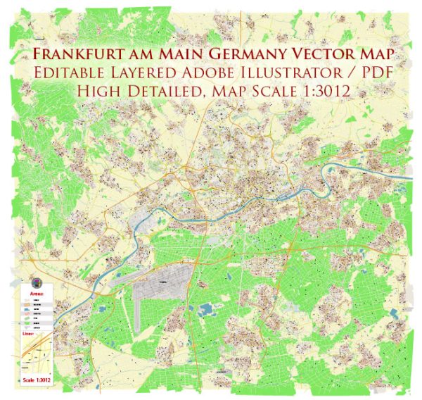
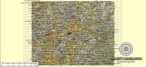
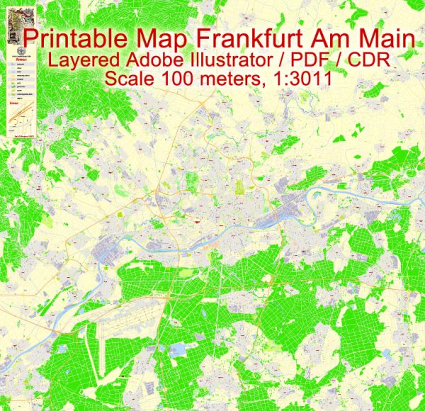
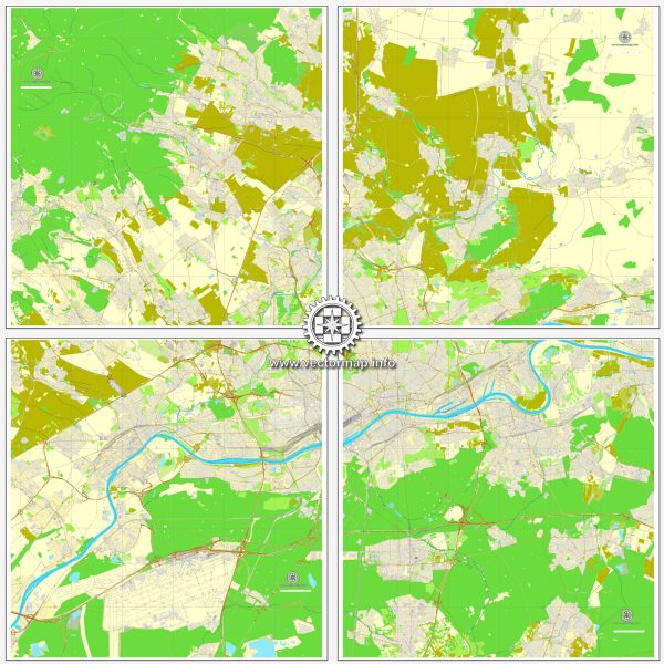
A general overview of the roads and railroads infrastructure in Frankfurt, Germany.
Vectormap.Net provide you with the most accurate and up-to-date vector maps in Adobe Illustrator, PDF and other formats, designed for editing and printing. Please read the vector map descriptions carefully.
Road Infrastructure:
- Autobahns (Highways): Frankfurt is well-connected to the German autobahn network, which is known for its extensive and efficient road system. The city is a major hub for several autobahns, including the A3, A5, A66, and A661. These highways facilitate the flow of traffic both within the city and between Frankfurt and other regions of Germany and Europe.
- City Roads: Within Frankfurt, a network of well-maintained city roads and streets serves local traffic. The city center is characterized by a mix of narrow medieval streets and modern thoroughfares. The road system is designed to accommodate both private and public transportation.
- Public Transportation: Frankfurt has an efficient public transportation system, including buses and trams, which play a crucial role in serving the local population and connecting different parts of the city. The public transport system is integrated, allowing for convenient transfers between buses, trams, and other modes of transportation.
Railroads:
- Main Train Station (Frankfurt Hauptbahnhof): Frankfurt Hauptbahnhof is one of the busiest railway stations in Europe and serves as a major transportation hub in the city. It offers both domestic and international train services, connecting Frankfurt to various cities across Germany and neighboring countries.
- High-Speed Rail (ICE): Frankfurt is a key hub for Germany’s high-speed rail network (ICE – InterCityExpress). The ICE trains connect Frankfurt with major German cities such as Berlin, Munich, and Hamburg, as well as international destinations like Paris, Brussels, and Amsterdam.
- Regional and Local Train Services: Apart from high-speed trains, Frankfurt has an extensive regional and local train network. Regional trains connect the city to nearby towns and cities in the Hesse region and beyond.
- S-Bahn (Suburban Rail): The S-Bahn system in Frankfurt is an essential component of the local public transportation network. It connects the city with its suburbs and neighboring regions, providing a quick and efficient mode of transport for daily commuters.
- Frankfurt Airport: Frankfurt Airport, one of the busiest airports in the world, is also an important transportation node. It has its own train station, connecting the airport directly to the city center and other major destinations.
The road and rail infrastructure in Frankfurt is designed to support the city’s role as a major financial and transportation hub in Europe. For the most up-to-date and detailed information, it is advisable to check with local transportation authorities or consult recent sources.


 Author: Kirill Shrayber, Ph.D. FRGS