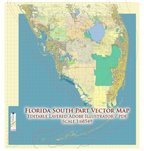
Southern Florida has an extensive network of roads, including toll and free options.
Vectormap.Net provide you with the most accurate and up-to-date vector maps in Adobe Illustrator, PDF and other formats, designed for editing and printing. Please read the vector map descriptions carefully.
- Florida’s Turnpike:
- The Florida’s Turnpike is a major toll road that runs through various parts of Florida, including Southern Florida. It provides a faster route for long-distance travel.
- Toll rates on the Turnpike vary based on the distance traveled. Electronic tolling is widely used, with the SunPass system allowing for convenient and seamless toll payments.
- Alligator Alley (I-75):
- Alligator Alley is a section of Interstate 75 (I-75) that connects the east and west coasts of Florida, passing through the Everglades. It is a tolled road.
- Toll collection on Alligator Alley also involves electronic tolling, where SunPass or Toll-By-Plate is used to collect tolls.
- Dolphin Expressway (SR 836):
- The Dolphin Expressway is a major toll road in Miami-Dade County that connects downtown Miami with western suburbs.
- Toll plazas are located along SR 836, and SunPass is the preferred method of payment.
- Snapper Creek Expressway (SR 878):
- The Snapper Creek Expressway is another toll road in Miami-Dade County, running east-west and connecting with SR 874 (Don Shula Expressway).
- Like other toll roads in the area, SunPass is typically used for toll collection.
- Homestead Extension of Florida’s Turnpike (HEFT – SR 821):
- This extension of Florida’s Turnpike provides a direct route south from the Miami area to Homestead and the Florida Keys.
- Toll rates apply, and electronic toll collection systems like SunPass are used.
- Free Roads:
- In addition to the toll roads, Southern Florida has an extensive network of free roads and highways, including I-95, US 1, and various state roads.
- These free roads serve local and regional traffic and provide alternatives to the tolled expressways.
It’s crucial to check with local transportation authorities for the latest information on toll rates, changes in toll collection methods, and any new road developments. Additionally, consider using navigation apps that provide real-time traffic and toll information for the most accurate and up-to-date details.


 Author: Kirill Shrayber, Ph.D. FRGS