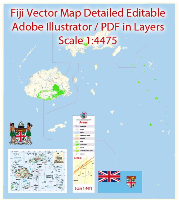
A general overview of the economic and transport connections in Fiji.
Vectormap.Net provide you with the most accurate and up-to-date vector maps in Adobe Illustrator, PDF and other formats, designed for editing and printing. Please read the vector map descriptions carefully.
Economic Overview:
- GDP and Economic Sectors:
- Fiji is a small island nation located in the South Pacific Ocean. As of my last update, the Fijian economy was primarily driven by tourism, agriculture, and services.
- Tourism is a significant contributor to Fiji’s GDP, with visitors attracted to its beautiful beaches, coral reefs, and cultural attractions.
- Agriculture:
- Agriculture plays a crucial role in Fiji’s economy. Key agricultural products include sugar, coconuts, ginger, and fish.
- Industry:
- Manufacturing and processing industries, such as sugar refining and garment production, contribute to Fiji’s industrial sector.
- Services:
- The services sector, including tourism, finance, and telecommunications, is a vital component of Fiji’s economy.
Transport Connections:
- Air Transport:
- Nadi International Airport, located on the main island of Viti Levu, is the main international gateway to Fiji. It serves as a hub for both domestic and international flights.
- Fiji Airways is the national carrier, providing connections to various international destinations.
- Sea Transport:
- Fiji has an extensive network of ports and harbors, facilitating maritime trade and transportation.
- Port of Suva, on Viti Levu, is a major seaport handling both domestic and international cargo.
- Inter-island shipping services connect the different islands of Fiji.
- Road Transport:
- Roads are the primary mode of transportation within the islands. Viti Levu and Vanua Levu, the two largest islands, have well-developed road networks.
- Buses and taxis are common modes of public transportation.
- Infrastructure Projects:
- Fiji has undertaken infrastructure projects to improve connectivity. This includes road upgrades and expansions, as well as investments in airport facilities.
- Telecommunications:
- Fiji has a relatively developed telecommunications infrastructure, with widespread access to mobile and internet services.
- Trade Connections:
- Fiji engages in international trade, exporting products such as sugar, fish, and textiles. Australia, New Zealand, and other Pacific nations are key trade partners.


 Author: Kirill Shrayber, Ph.D. FRGS