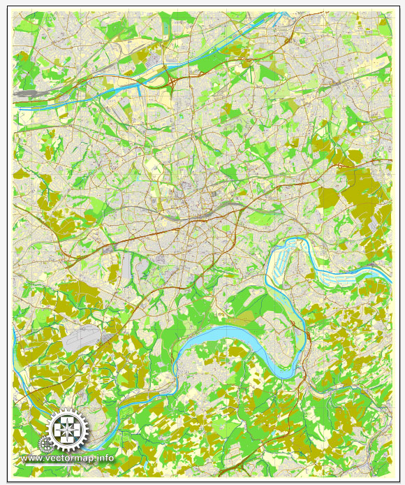
Essen is a city located in the North Rhine-Westphalia region of Germany. It has a rich history and has been a significant industrial and cultural center.
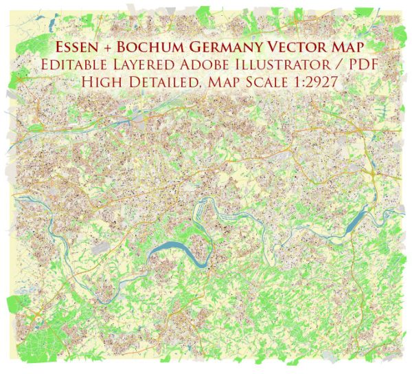
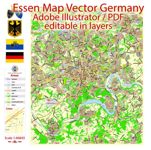
Vectormap.Net provide you with the most accurate and up-to-date vector maps in Adobe Illustrator, PDF and other formats, designed for editing and printing. Please read the vector map descriptions carefully.
Here’s a detailed overview of Essen’s history and transportation infrastructure:
History:
- Medieval Origins:
- Essen’s history dates back to the 9th century when it was founded as a women’s abbey by the Saxon Duke Altfrid.
- The Essen Abbey played a crucial role in the region’s development, serving as a center for religious, cultural, and economic activities.
- Industrial Revolution:
- Essen gained prominence during the Industrial Revolution in the 19th century.
- The city became a major industrial hub due to the growth of coal mining and steel production, largely driven by the Krupp family.
- World War II:
- Essen suffered heavy damages during World War II due to Allied bombings, as it was a significant industrial and transportation center for the German war effort.
- Post-War Reconstruction:
- After the war, Essen underwent extensive reconstruction and redevelopment efforts.
- The city transformed from an industrial center into a modern urban environment with a focus on cultural and economic diversification.
- Cultural Capital:
- Essen has been designated as a European Capital of Culture in 2010, highlighting its cultural significance and commitment to the arts.
Transportation Infrastructure:
- Roadways:
- Essen is well-connected by a network of highways, including the A40, A42, and A52 autobahns.
- The road infrastructure facilitates efficient transportation within the city and connects it to other major cities in the region.
- Public Transportation:
- Buses and Trams: The city has an extensive public transportation system operated by the Essener Verkehrs-AG (EVAG). Buses and trams provide convenient and reliable options for getting around the city.
- Subway (U-Bahn): Essen has a well-developed U-Bahn system that connects various parts of the city, providing a fast and efficient mode of transport.
- Railways:
- Essen Hauptbahnhof (main railway station) is a major transportation hub, connecting the city to national and international railway networks.
- High-speed trains, regional trains, and local services operate from the Hauptbahnhof, making it a vital transportation node.
- Air Transportation:
- Essen does not have its own airport. The nearest major airport is Düsseldorf Airport, which is approximately 30 kilometers away, providing domestic and international flights.
- Cycling Infrastructure:
- Essen is also bicycle-friendly, with dedicated cycling lanes and a bike-sharing system, promoting sustainable and eco-friendly transportation options.
In summary, Essen’s history is deeply rooted in its medieval origins and industrial development. The city has evolved into a modern urban center with a well-connected transportation infrastructure that includes roadways, public transportation, railways, and cycling options.

 Author: Kirill Shrayber, Ph.D. FRGS