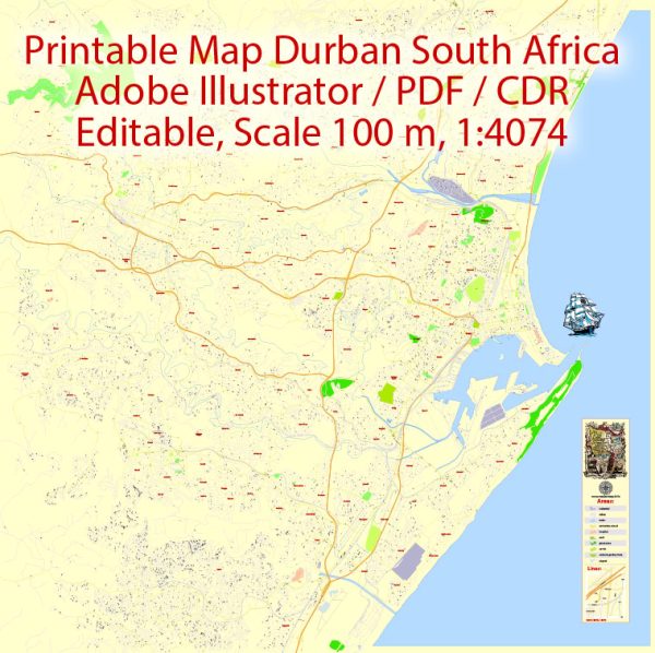
Durban, located on the east coast of South Africa in the KwaZulu-Natal province, has a rich history and a diverse transportation infrastructure.
Vectormap.Net provide you with the most accurate and up-to-date vector maps in Adobe Illustrator, PDF and other formats, designed for editing and printing. Please read the vector map descriptions carefully.
Let’s delve into both aspects:
History:
1. Early History: Durban has a long history, initially inhabited by the indigenous Zulu people. The region gained significance in the early 19th century when European settlers arrived. The area was first visited by Vasco da Gama in 1497, but it wasn’t until 1824 that a small trading post was established by British settlers.
2. British Colonization: In 1835, the British annexed the area, and it became part of the British Empire. Durban developed as a port town due to its strategic location on the Indian Ocean, playing a crucial role in facilitating trade.
3. Economic Growth: Durban’s economy flourished with the cultivation of sugarcane and the establishment of a sugar industry. The city also became an important railway hub in the late 19th century, further boosting its economic development.
4. Apartheid Era: Like the rest of South Africa, Durban experienced the impact of apartheid, a system of racial segregation. The city played a role in the anti-apartheid movement, and its history reflects the struggles and triumphs of the period.
5. Post-Apartheid Era: With the end of apartheid in the early 1990s, Durban underwent social and economic transformations. The city embraced its multicultural heritage, and efforts were made to address historical injustices.
Transportation Infrastructure:
1. Port of Durban: The Port of Durban is one of the busiest ports in Africa and a key gateway for international trade. It handles a significant portion of the country’s imports and exports, making it a vital economic hub.
2. Roads: Durban has a well-developed road network, including major highways connecting it to other cities in South Africa. The N3 highway links Durban to Johannesburg, while the N2 connects it to Cape Town. The city also has an extensive network of local roads.
3. Rail Transport: The railway system is crucial for transporting goods and people. Durban has a well-established rail network connecting it to other major cities. The railway system plays a significant role in facilitating the transportation of goods from the inland regions to the port.
4. Air Transportation: King Shaka International Airport, located about 35 kilometers north of Durban, is the city’s primary airport. It serves as a major air transportation hub, connecting Durban to domestic and international destinations.
5. Public Transportation: Durban has a public transportation system, including buses and taxis. The city has invested in improving public transportation to address the needs of its growing population.
6. Development Projects: Over the years, Durban has undertaken various infrastructure development projects to enhance transportation. These projects aim to improve connectivity, reduce congestion, and support economic growth.
Durban’s history and transportation infrastructure together reflect the city’s evolution from a small trading post to a major economic and cultural center in South Africa. The city continues to play a vital role in the country’s development and international trade.


 Author: Kirill Shrayber, Ph.D.