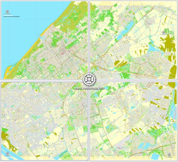
A general overview of the transportation infrastructure in The Hague (Den Haag), Netherlands.
Vectormap.Net provide you with the most accurate and up-to-date vector maps in Adobe Illustrator, PDF and other formats, designed for editing and printing. Please read the vector map descriptions carefully.
- Public Transportation:
- Trams: The Hague has an extensive tram network operated by HTM (Haagse Tramweg-Maatschappij). Trams connect various neighborhoods within the city and also provide links to neighboring cities.
- Buses: The city is served by a comprehensive bus network, operated by HTM and other regional transport companies. Buses cover both urban and suburban areas, providing a crucial mode of transportation.
- Rail Transportation:
- Train Services: The Hague is well-connected by train services. Den Haag Centraal is the main railway station, offering domestic and international connections. Other notable stations in the city include Den Haag HS (Hollands Spoor) and Den Haag Laan van NOI.
- Cycling Infrastructure:
- The Netherlands, including The Hague, is known for its extensive cycling infrastructure. The city features dedicated cycling lanes, bike racks, and bike-sharing programs, promoting the use of bicycles as a sustainable and efficient mode of transport.
- Road Network:
- The Hague is accessible by a well-developed road network. Major highways connect the city to other urban centers in the Netherlands and neighboring countries. The A12 and A4 highways are essential routes serving The Hague.
- Air Transportation:
- While The Hague itself does not have a major airport, Amsterdam Airport Schiphol is the nearest international airport, approximately 45 minutes away by train. Rotterdam The Hague Airport is a regional airport that offers domestic and limited international flights and is closer to the city.
- Pedestrian-Friendly Areas:
- The city center and many neighborhoods in The Hague are pedestrian-friendly, with well-maintained sidewalks and pedestrian zones. This encourages walking and contributes to a more sustainable and livable urban environment.
- Water Transportation:
- The Hague is not a major port city, but it has waterways that are used for recreational purposes. Canals and harbors contribute to the overall charm of certain neighborhoods.
- Future Developments:
- The city may have ongoing or planned transportation infrastructure projects to enhance connectivity and sustainability. These could include new tram lines, cycling initiatives, or improvements to existing public transportation.
For the most up-to-date and specific information, it is recommended to check with local authorities, transportation agencies, or official city websites for any changes or developments in The Hague’s transportation infrastructure.


 Author: Kirill Shrayber, Ph.D. FRGS