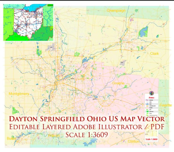
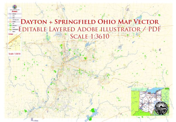
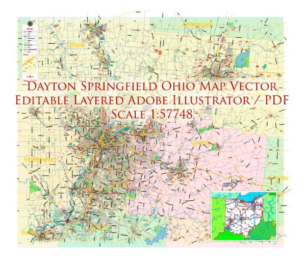
A general overview of the economic and transport connections between Dayton and Springfield in Ohio, USA.
Vectormap.Net provide you with the most accurate and up-to-date vector maps in Adobe Illustrator, PDF and other formats, designed for editing and printing. Please read the vector map descriptions carefully.
Economic Connections:
Dayton:
- Industry Diversity: Dayton has a diverse industrial base, historically known for its contributions to aerospace and manufacturing. The city hosts numerous technology and research facilities, including the National Air and Space Intelligence Center (NASIC) and Wright-Patterson Air Force Base.
- Research and Development: The presence of Wright State University and the University of Dayton contributes to research and development activities. These institutions foster innovation and collaboration with local industries.
- Healthcare and Education: The healthcare and education sectors are significant contributors to Dayton’s economy. Hospitals and universities play a crucial role in employment and economic growth.
Springfield:
- Manufacturing Heritage: Similar to Dayton, Springfield has a manufacturing heritage. The city has historically been associated with industries such as automotive manufacturing and agricultural equipment production.
- Economic Revitalization Efforts: In recent years, Springfield has undergone efforts to revitalize its downtown area and attract businesses. Initiatives focus on creating a more diverse and resilient local economy.
- Healthcare and Education: The city has healthcare institutions and educational facilities contributing to its economic landscape.
Transport Connections:
Roadways:
- Interstate Highways: Both Dayton and Springfield are well-connected by interstate highways. Interstate 70 is a major east-west route that passes through both cities, facilitating the transportation of goods and people.
- State Highways: State routes, such as Ohio Route 4 and Ohio Route 68, provide additional connectivity within the region.
Air Transport:
- Airports: Dayton International Airport serves as a major air transportation hub for the region. It facilitates both passenger and cargo flights, contributing to the economic connectivity of the area.
Rail Transport:
- Railways: While rail transport is not as dominant as it once was, both cities have railway connections that play a role in the transportation of goods.
Public Transportation:
- Bus Services: Both cities have public bus services providing intra-city transportation. Regional transit options may also connect Dayton and Springfield.
- Ride-Sharing and Taxis: Ride-sharing services and taxi companies contribute to local transportation options.
- Proximity: Dayton and Springfield are relatively close in proximity, making it feasible for residents and businesses to commute between the two cities.
Please note that developments in the economy and transportation infrastructure can change, so it’s recommended to check the latest sources for the most up-to-date information on the economic and transport connections between Dayton and Springfield, Ohio.


 Author: Kirill Shrayber, Ph.D. FRGS