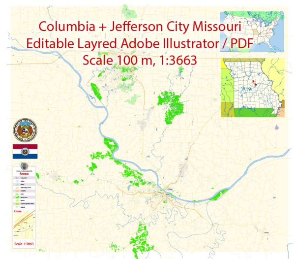
A general overview of the economic and transport connections between Columbia and Jefferson City in Missouri, USA.
Vectormap.Net provide you with the most accurate and up-to-date vector maps in Adobe Illustrator, PDF and other formats, designed for editing and printing. Please read the vector map descriptions carefully.
Economic Connections:
Columbia:
- Education and Research: Columbia is known for being home to the University of Missouri, which significantly influences the city’s economy. The university contributes to research, education, and the development of technology, attracting students and professionals.
- Healthcare: The healthcare sector is a key player in the local economy, with hospitals and healthcare facilities providing services not only to Columbia residents but also to the surrounding areas.
- Retail and Services: As a regional hub, Columbia has a diverse retail sector, offering a range of shopping and dining options. The city serves as a commercial center for the surrounding communities.
- Manufacturing and Technology: Some manufacturing and technology companies have a presence in Columbia, contributing to the city’s economic diversity.
Jefferson City:
- Government: As the capital of Missouri, Jefferson City’s economy is closely tied to government activities. The state government is a major employer, and government-related services are crucial contributors to the local economy.
- Manufacturing and Industry: Jefferson City has a history of manufacturing and industrial activities. Some manufacturing plants and industries are established in the area, providing employment and economic stability.
- Education and Healthcare: Similar to Columbia, Jefferson City has educational institutions and healthcare facilities that play a role in the local economy.
Transport Connections:
Columbia and Jefferson City:
- Highways: Both cities are well-connected through the highway system. Interstate 70 runs east-west, linking Columbia and Jefferson City and connecting them to major cities across the state.
- Public Transportation: While both cities may have public transportation options like buses, they are not as extensive as in larger metropolitan areas. Residents often rely on personal vehicles for commuting.
- Railways: Railways play a role in transporting goods, and both cities have rail infrastructure. This is crucial for industries and businesses relying on the transportation of goods.
- Airports: Columbia Regional Airport serves Columbia, offering air travel options. Jefferson City does not have a commercial airport, so residents often use Columbia Regional Airport or other nearby airports for air travel.


 Author: Kirill Shrayber, Ph.D. FRGS