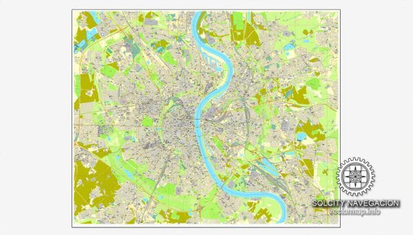
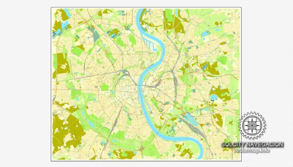
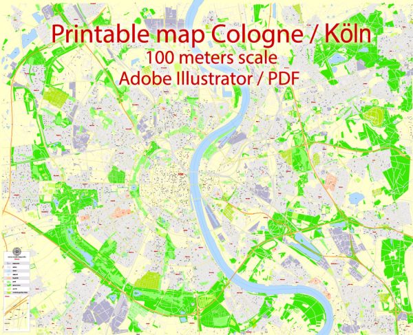
Cologne, or Köln in German, is a city located in western Germany on the Rhine River. The history of Cologne is long and rich, dating back to Roman times.
Vectormap.Net provide you with the most accurate and up-to-date vector maps in Adobe Illustrator, PDF and other formats, designed for editing and printing. Please read the vector map descriptions carefully.
Here’s a brief overview of the history and road system of Cologne:
Historical Overview:
- Roman Period: Cologne, known as Colonia Claudia Ara Agrippinensium, was established by the Romans in the 1st century AD. It became the capital of the Roman province of Germania Inferior. The city prospered as a center of trade and commerce during this period.
- Medieval Period: Cologne continued to be an important trade and cultural center in the Middle Ages. The Cologne Cathedral, a masterpiece of Gothic architecture, was begun in 1248 but took several centuries to complete.
- Renaissance and Baroque: Cologne faced economic challenges during the Renaissance but experienced a revival in the Baroque period. The city became part of the Holy Roman Empire and was heavily influenced by the Catholic Church.
- French Occupation and Industrialization: In the 19th century, Cologne fell under French rule during the Napoleonic Wars. After the Congress of Vienna in 1815, it became part of the Kingdom of Prussia. The city experienced significant industrialization during the 19th century.
- World War II: Cologne suffered extensive damage during World War II due to Allied bombings. Much of the city was destroyed, including the historic old town and the cathedral. The post-war period saw extensive reconstruction efforts.
- Post-War and Modern Era: Cologne became a major cultural and economic hub in post-war West Germany. Today, it is known for its vibrant arts scene, media industry, and international trade fairs.
Road System in Cologne:
Cologne has a well-developed and modern road system that reflects its status as a major city in Germany. Here are some key aspects:
- Autobahns: Cologne is connected to the German Autobahn network, which is known for its high-speed highways. The A1, A3, A4, and A57 are some of the major Autobahns that intersect or pass near Cologne, facilitating efficient transportation within the region.
- Bridges: The city is situated on both sides of the Rhine River, and several bridges connect the two halves. The Hohenzollern Bridge is one of the most iconic and serves as a vital railway and pedestrian link.
- Public Transportation: In addition to roads, Cologne has an extensive public transportation system, including buses, trams, and a subway (U-Bahn) system. This integrated network makes it convenient for residents and visitors to navigate the city.
- City Center: The historic city center is characterized by narrow, winding streets, some of which date back centuries. The layout reflects the medieval origins of the city, and many streets are pedestrian-friendly.
- Cycling Infrastructure: Like many German cities, Cologne has invested in cycling infrastructure. There are dedicated bike lanes and paths, encouraging sustainable and eco-friendly transportation.
Overall, Cologne’s road system is a blend of historical and modern elements, catering to the city’s rich history and contemporary needs. The infrastructure supports the city’s role as a major economic and cultural center in Germany.


 Author: Kirill Shrayber, Ph.D. FRGS