The history of railroads and road systems in Cincinnati, Ohio, is a fascinating tale of economic development, transportation evolution, and urban growth. Let’s explore the key milestones in both the railroad and road system history of Cincinnati.
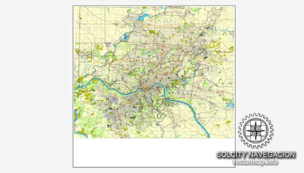
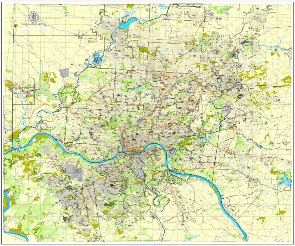
Vectormap.Net provide you with the most accurate and up-to-date vector maps in Adobe Illustrator, PDF and other formats, designed for editing and printing. Please read the vector map descriptions carefully.
Railroads in Cincinnati:
- Early Railroads (1830s-1850s): The first railroad in Cincinnati, the Little Miami Railroad, was chartered in 1836 and completed in 1841. This line connected Cincinnati to Xenia and eventually to Columbus. The Cincinnati, Hamilton, and Dayton Railroad was also established during this period, enhancing the city’s connectivity.
- Growth and Expansion (1850s-1870s): Cincinnati’s strategic location along the Ohio River contributed to the city becoming a major transportation hub. The Marietta and Cincinnati Railroad, completed in the 1850s, opened up access to the east. By the 1870s, Cincinnati was well-connected to various parts of the country through a network of railroads.
- Union Terminal (1933): In 1933, Cincinnati Union Terminal was completed, becoming a central hub for several railroad lines. The art deco-style terminal was not only a transportation center but also a symbol of the city’s prosperity.
- Decline and Consolidation (Mid-20th Century): Like many American cities, Cincinnati’s railroads faced challenges with the rise of the automobile and air travel. Railroads began to decline, and many passenger services were discontinued. The Penn Central merger in 1968 further affected rail operations in the region.
- Modern Rail Transportation: Despite the decline in passenger rail, Cincinnati remains a significant hub for freight transportation. Today, several major railroads, including CSX and Norfolk Southern, operate in the region, facilitating the movement of goods.
Road Systems in Cincinnati:
- River Transportation (Early 19th Century): Before the advent of railroads, the Ohio River was a vital transportation route. Steamboats carried goods and passengers to and from Cincinnati, contributing to the city’s early economic growth.
- Turnpikes and Canals (Early to Mid-19th Century): In the 1830s, turnpikes and canals were developed to improve overland transportation. The Miami and Erie Canal, completed in the 1840s, connected Cincinnati to Lake Erie, facilitating the movement of goods.
- Road Network Expansion (Late 19th Century): With the decline of canals, the focus shifted to road networks. Cincinnati developed a comprehensive system of roads, and the Good Roads Movement in the late 19th and early 20th centuries aimed to improve the quality of roads for automobiles.
- Interstate Highway System (20th Century): In the mid-20th century, the construction of the Interstate Highway System had a profound impact on Cincinnati’s transportation. Interstate 75 and Interstate 71 became major arteries connecting the city to the national highway network.
- Modern Transportation Challenges: Like many urban areas, Cincinnati faces challenges related to traffic congestion, infrastructure maintenance, and urban planning. Efforts continue to modernize and improve the road system to accommodate the needs of a growing population.
In summary, Cincinnati’s history of railroads and road systems reflects the city’s evolution from a river port to a transportation hub, adapting to changing modes of transportation over the centuries. The legacy of these developments is visible in the city’s infrastructure and its continued importance in regional and national transportation networks.

 Author: Kirill Shrayber, Ph.D. FRGS