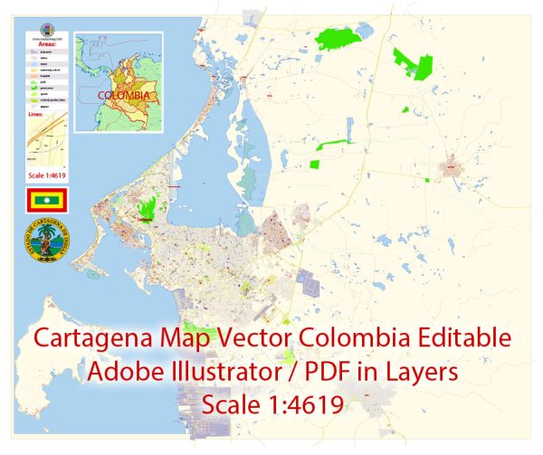
A general overview of the history of railroads and road systems in Cartagena, Colombia.
Vectormap.Net provide you with the most accurate and up-to-date vector maps in Adobe Illustrator, PDF and other formats, designed for editing and printing. Please read the vector map descriptions carefully.
Railroads: Historically, Cartagena did not have an extensive railroad network compared to other regions in Colombia. The country’s railroad system has faced challenges and undergone transformations over the years. The first railroad in Colombia was constructed in the mid-19th century, connecting the port city of La Dorada to the capital, Bogotá. However, Cartagena, being a significant coastal city with a well-established port, did not rely heavily on rail transport.
Road Systems: Road transportation has been more critical for Cartagena’s connectivity. The road infrastructure has evolved over time to accommodate the city’s growth and improve connectivity with other parts of Colombia. The road system connects Cartagena with major cities and regions, facilitating the movement of goods and people.
Recent Developments: In recent years, the Colombian government has invested in improving the overall transportation infrastructure, including roads. This includes the expansion and maintenance of highways and the construction of new roads to enhance connectivity. Improved road infrastructure is vital for economic development, tourism, and efficient transportation of goods to and from the port.
Challenges: Like many cities, Cartagena faces challenges such as traffic congestion, especially during peak hours. The government continues to address these issues through urban planning initiatives and infrastructure projects.
For the most up-to-date and detailed information on the history of railroads and road systems in Cartagena, I recommend checking local historical archives, government records, or contacting relevant authorities in Cartagena or Colombia. Additionally, news sources and academic publications may provide insights into recent developments in transportation infrastructure in the region.


 Author: Kirill Shrayber, Ph.D.