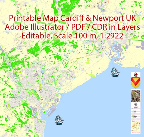
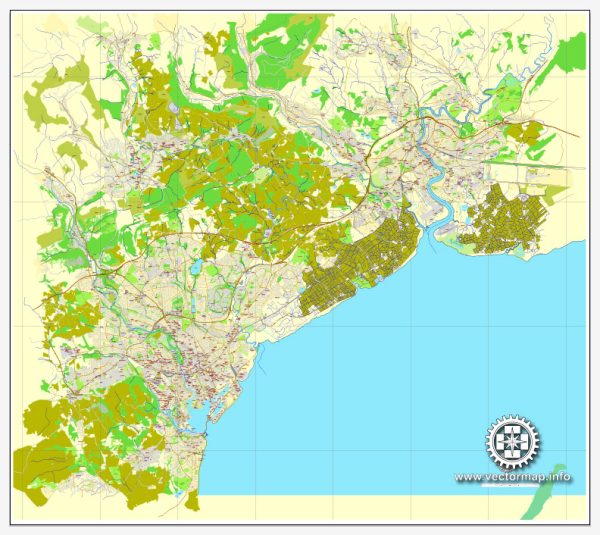
Cardiff and Newport, both located in South Wales, United Kingdom, have a rich history of railroads and road systems that played a crucial role in the industrialization and economic development of the region.
Vectormap.Net provide you with the most accurate and up-to-date vector maps in Adobe Illustrator, PDF and other formats, designed for editing and printing. Please read the vector map descriptions carefully.
Here’s a detailed overview of the history of railroads and road systems in Cardiff and Newport:
Railroads:
- Early Rail Development (19th Century):
- The first railway in the area was the Taff Vale Railway, which opened in 1840, connecting Merthyr Tydfil with Cardiff. This marked the beginning of the railway network in South Wales.
- Subsequently, other rail lines were constructed, linking Cardiff to other industrial and mining towns. The railways played a pivotal role in transporting coal from the mines to the ports for export.
- Expansion and Integration (Late 19th to Early 20th Century):
- The late 19th and early 20th centuries saw significant expansion of the railway network in South Wales, connecting Cardiff and Newport to key industrial and commercial centers.
- The Great Western Railway (GWR) played a crucial role in expanding the rail network in the region. The GWR mainline connected Cardiff and Newport to London, enhancing transportation links with the rest of the country.
- Role in Industrialization:
- The railways were integral to the industrialization of South Wales, facilitating the movement of raw materials, goods, and people. The transport of coal from the South Wales Valleys to the docks in Cardiff and Newport was a key driver of economic growth.
- Decline and Modernization (Mid-20th Century):
- The mid-20th century saw a decline in the use of railways as road transportation became more popular. Many rail lines were closed as a result of changing transportation preferences.
- In the latter half of the 20th century and into the 21st century, there has been a renewed focus on rail infrastructure, with modernization projects aimed at improving efficiency and connectivity.
- Recent Developments (21st Century):
- The South Wales Main Line, connecting Cardiff and Newport to London, has seen upgrades and electrification projects to enhance speed and efficiency.
- The South Wales Metro project is an ongoing initiative to improve local rail services and connectivity within the region.
Road Systems:
- Early Roads and Turnpikes (18th Century):
- Before the advent of railways, roads played a crucial role in transportation. Turnpike trusts were established in the 18th century to maintain and improve roads. Roads between Cardiff and Newport were vital for the movement of goods and people.
- Road Transport Expansion (19th Century):
- With the growth of industry and trade, road networks between Cardiff and Newport expanded to accommodate increased traffic. This period saw the improvement of existing roads and the construction of new ones.
- Motorization and Modernization (20th Century):
- The 20th century witnessed the rise of motorized transportation. Roads were adapted to accommodate automobiles and buses.
- The M4 motorway, opened in stages during the 1960s and 1970s, is a major arterial road connecting Cardiff and Newport to London and the wider motorway network.
- Traffic Challenges and Solutions:
- With increased urbanization and population growth, the road systems in Cardiff and Newport have faced challenges related to traffic congestion. Various road improvement projects, including bypasses and dual-carriageways, have been implemented to address these issues.
- Sustainable Transportation Initiatives:
- In recent years, there has been a growing emphasis on sustainable transportation. Both Cardiff and Newport have invested in public transport systems, cycling infrastructure, and pedestrian-friendly initiatives to reduce dependence on private vehicles.
In summary, the history of railroads and road systems in Cardiff and Newport reflects the broader trends in transportation development, from the early industrial era to the modern focus on efficiency, connectivity, and sustainability. The evolution of these transportation networks has played a vital role in shaping the economic and social landscape of the region.


 Author: Kirill Shrayber, Ph.D. FRGS