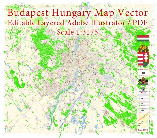
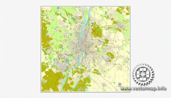
Budapest, Hungary, has a well-developed and integrated transportation infrastructure that includes various modes of transportation.
Vectormap.Net provide you with the most accurate and up-to-date vector maps in Adobe Illustrator, PDF and other formats, designed for editing and printing. Please read the vector map descriptions carefully.
Here is a detailed description of the transportation infrastructure in Budapest:
- Public Transportation:
- Metro: Budapest has a metro system consisting of four lines (M1, M2, M3, and M4). The Metro 1 (yellow line) is the oldest on the continent, and Metro 4 (green line) is the newest, opened in 2014. The metro network is efficient and covers key areas of the city.
- Trams: Budapest has an extensive tram network that covers both the Buda and Pest sides of the city. Trams are a popular mode of transportation, providing convenient access to various neighborhoods and landmarks.
- Buses: A comprehensive bus network complements the metro and tram systems, connecting areas that may not be served by rail transport. Buses are an essential part of the public transportation system.
- Trolleybuses: Trolleybuses are electric buses powered by overhead wires. Budapest has a network of trolleybus routes, offering an environmentally friendly option for commuters.
- Suburban Railway (HÉV): The suburban railway system, known as HÉV, connects Budapest with nearby towns and villages. It plays a crucial role in regional transportation.
- Rail Transportation:
- Railway Stations: Budapest is a major railway hub with several railway stations, including Keleti (Eastern), Nyugati (Western), and Déli (Southern). These stations provide domestic and international train services, connecting Budapest with other cities in Hungary and neighboring countries.
- Road Transportation:
- Road Network: Budapest is well-connected by an extensive road network. Major roads and highways facilitate transportation within the city and to other parts of Hungary. The M0 ring road encircles the city, connecting various motorways.
- Bridges: Budapest is divided by the Danube River, and several bridges connect Buda and Pest. The most famous is the Chain Bridge, while others include the Margaret Bridge, Elisabeth Bridge, and Liberty Bridge.
- Cycling:
- Bike Lanes: Budapest has been working on improving its cycling infrastructure, with the introduction of bike lanes and dedicated paths. Cycling is becoming increasingly popular as an eco-friendly and healthy mode of transportation.
- Water Transportation:
- Danube River: The Danube River flows through Budapest, and boat services are available for both public transportation and leisure cruises. The river provides a scenic route and an alternative way to explore the city.
- Air Transportation:
- Budapest Ferenc Liszt International Airport: The primary international airport serving Budapest is Ferenc Liszt International Airport. It is well-connected to various destinations worldwide and serves as a major gateway for air travel.
The transportation infrastructure in Budapest is continually evolving, with ongoing efforts to improve and expand services to meet the growing needs of the city’s residents and visitors. Please check for the latest information and updates for the most current details on Budapest’s transportation system.


 Author: Kirill Shrayber, Ph.D. FRGS