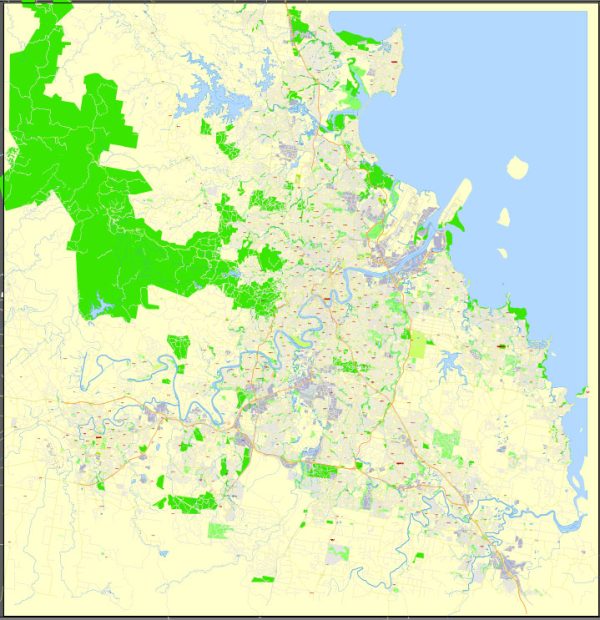
A general overview of the transportation infrastructure in Brisbane, Australia.
Vectormap.Net provide you with the most accurate and up-to-date vector maps in Adobe Illustrator, PDF and other formats, designed for editing and printing. Please read the vector map descriptions carefully.
- Road Network:
- Brisbane has an extensive road network that includes major highways, arterial roads, and local streets.
- The Pacific Motorway (M1) connects Brisbane to the Gold Coast and continues north to the Sunshine Coast.
- The Bruce Highway (National Highway 1) is a major north-south route connecting Brisbane to cities in northern Queensland.
- Public Transportation:
- Brisbane City Council Buses: Brisbane’s public bus network is operated by the Brisbane City Council, covering the city and surrounding suburbs.
- CityCat and CityFerry: The Brisbane River is traversed by CityCats (catamarans) and CityFerries, providing an alternative mode of public transport.
- Train Services: Queensland Rail operates the train services in Brisbane. The suburban rail network connects the city center with various suburbs.
- Cycling Infrastructure:
- Brisbane has been investing in cycling infrastructure, including bike lanes and pathways, to promote cycling as a sustainable mode of transportation.
- Brisbane Airport:
- Brisbane Airport is a major hub for domestic and international flights, providing air connectivity to various destinations.
- Brisbane Cruise Terminal:
- The Portside Wharf Cruise Terminal caters to cruise ships, offering passenger facilities for both domestic and international cruises.
- Taxis and Ride-Sharing:
- Taxis and ride-sharing services like Uber are readily available in Brisbane, providing additional transportation options.
- Traffic Management:
- The city employs various traffic management strategies, including smart traffic lights and road infrastructure improvements, to enhance traffic flow and reduce congestion.
- Infrastructure Projects:
- Brisbane has seen ongoing infrastructure projects aimed at improving transportation. Examples include the Cross River Rail project, which involves the construction of a new rail line through the city center.
- Accessibility and Inclusivity:
- Efforts have been made to enhance accessibility for people with disabilities, with facilities such as ramps and elevators in public transport stations.
- Parking Facilities:
- The city provides both on-street and off-street parking facilities to accommodate private vehicles.


 Author: Kirill Shrayber, Ph.D. FRGS