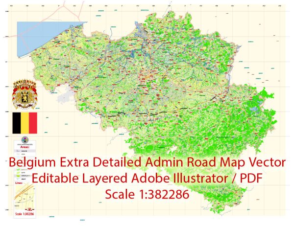
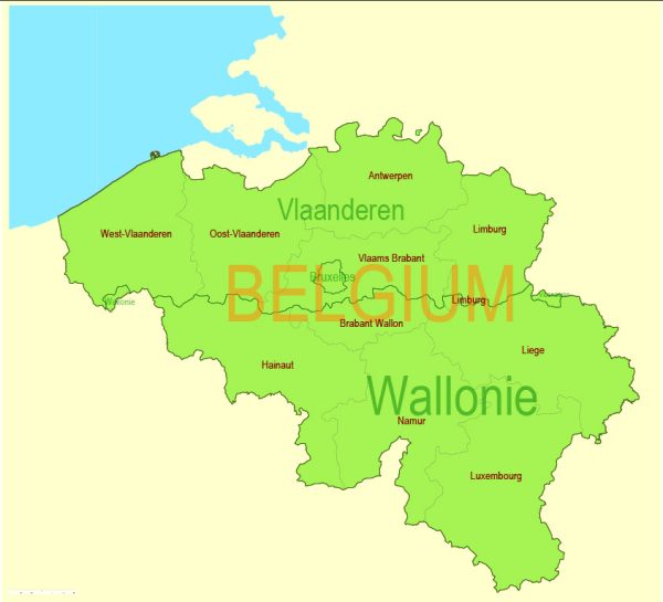
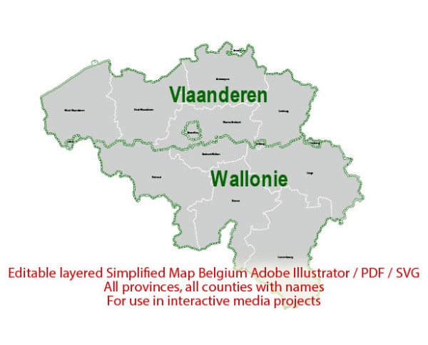
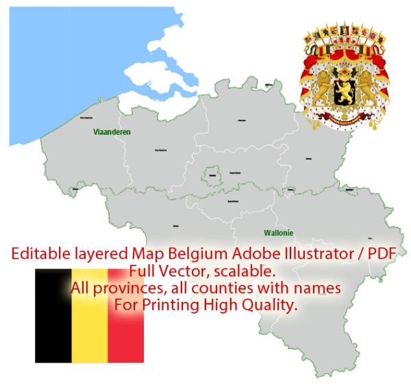
Belgium is a country located in Western Europe.
Vectormap.Net provide you with the most accurate and up-to-date vector maps in Adobe Illustrator, PDF and other formats, designed for editing and printing. Please read the vector map descriptions carefully.
Economic Overview:
- Highly Developed Economy: Belgium has a highly developed and open-market economy. It is considered one of the wealthiest countries in the world. The country is a member of the European Union (EU), and its economy is closely integrated with that of other EU member states.
- Diversified Economy: Belgium’s economy is characterized by a high degree of diversification. Key sectors include manufacturing, services, and a strong emphasis on international trade.
- Service Sector: The service sector plays a significant role in Belgium’s economy, with finance, insurance, real estate, and various business services being major contributors.
- Manufacturing: Belgium has a robust manufacturing sector, particularly in areas such as chemicals, machinery, equipment, and processed food. The country is known for its expertise in the production of high-quality goods.
- International Trade: Given its central location in Europe, Belgium is a key player in international trade. The Port of Antwerp is one of the largest and busiest seaports in Europe, facilitating trade with global markets.
- Eurozone Member: Belgium adopted the euro as its official currency when it joined the Eurozone.
Transportation Infrastructure:
- Road Network: Belgium has an extensive and well-maintained road network. The country is known for its dense network of highways and roads, making it easy to travel within Belgium and to neighboring countries.
- Rail Network: Belgium has a dense and efficient railway system operated by the National Railway Company of Belgium (SNCB/NMBS). The high-speed train network connects major cities and extends to neighboring countries.
- Air Transport: Brussels Airport, located in Zaventem, is the primary international airport in Belgium. It serves as a major hub for both passenger and cargo flights.
- Ports: The Port of Antwerp is a crucial transportation hub in Europe and one of the largest seaports globally. It handles a significant portion of international trade, including container shipping and bulk cargo.
- Public Transportation: Belgium has well-developed public transportation systems in major cities, including buses and trams. Brussels, the capital, has an extensive metro system.
- Biking Culture: Belgium is known for its bike-friendly cities and has an extensive network of cycling paths. Biking is a popular mode of transportation, especially in urban areas.
- Canals: Belgium has an intricate network of canals, which historically played a vital role in transportation and trade. While less prominent today, some canals are still used for shipping and leisure.
In summary, Belgium boasts a highly developed and diversified economy, with a strong emphasis on international trade. Its transportation infrastructure is well-developed, featuring a dense road network, efficient rail services, a major international airport, and one of the largest and busiest seaports in Europe.


 Author: Kirill Shrayber, Ph.D. FRGS