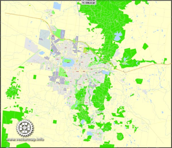
A general overview of the economic and transportation aspects of Ballarat, Australia.
Vectormap.Net provide you with the most accurate and up-to-date vector maps in Adobe Illustrator, PDF and other formats, designed for editing and printing. Please read the vector map descriptions carefully.
Economic Overview:
- Diversified Economy:
- Ballarat has a diversified economy with contributions from manufacturing, services, education, healthcare, and tourism.
- The city has seen growth in sectors like information technology, renewable energy, and advanced manufacturing.
- Education and Research:
- The presence of educational institutions, including Federation University Australia, contributes significantly to the local economy.
- Research and development activities, especially in areas like science and technology, play a role in the economic landscape.
- Tourism:
- Ballarat is a popular tourist destination, known for its rich history and cultural heritage.
- Sovereign Hill, a recreated 1850s gold-mining town, attracts visitors with its historical significance and interactive exhibits.
- Healthcare:
- The healthcare sector is essential, with hospitals and medical facilities catering to the local population and surrounding areas.
Transportation Overview:
- Roads:
- Ballarat is well-connected by road, with major highways and roads facilitating transportation to and from the city.
- The Western Freeway is a key transport route connecting Ballarat to Melbourne, Victoria’s capital.
- Public Transportation:
- Ballarat has a public bus network providing transportation within the city and to nearby areas.
- V/Line, the regional public transport operator, runs train services connecting Ballarat to Melbourne.
- Rail Connectivity:
- The Ballarat railway station is a major transport hub, connecting the city to Melbourne and other regional centers.
- V/Line services provide regular and reliable rail transportation for commuters.
- Air Transportation:
- While Ballarat itself doesn’t have a major airport, the city is accessible by air through Melbourne’s Tullamarine Airport, which is approximately 90 minutes away by road.
- Cycling and Walking:
- The city has initiatives to promote cycling and walking, with designated paths and facilities for pedestrians and cyclists.
- Port Connectivity:
- While not directly situated on the coast, Ballarat’s economy is indirectly connected to ports in Melbourne, which facilitates the import and export of goods.
Keep in mind that economic and transportation landscapes can change, and developments may have occurred since my last update. For the most current and detailed information, it’s recommended to consult local government sources, economic reports, and transportation authorities in Ballarat.


 Author: Kirill Shrayber, Ph.D. FRGS