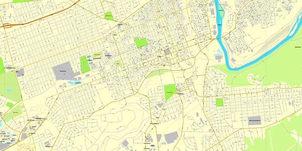
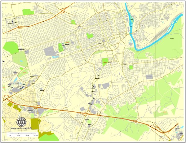
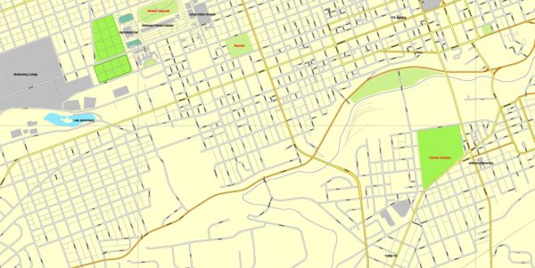
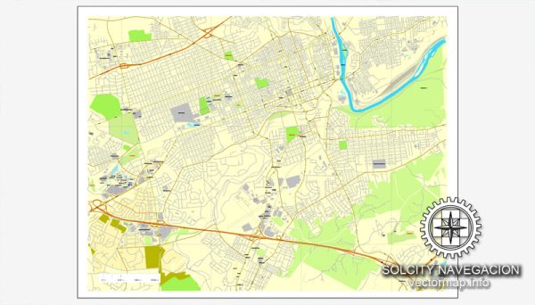
A general overview of the economic and transportation situation in Allentown, Pennsylvania. Vectormap.Net provide you with the most accurate and up-to-date vector maps in Adobe Illustrator, PDF and other formats, designed for editing and printing. Please read the vector map descriptions carefully.
Economic Overview:
- Diversified Economy: Allentown has a diversified economy that includes manufacturing, healthcare, finance, and services. Historically known for its industrial base, the city has undergone economic diversification over the years.
- Manufacturing: While manufacturing remains a significant part of the local economy, the focus has shifted from heavy industry to more advanced manufacturing and technology-related sectors.
- Healthcare and Services: The healthcare and services sectors have grown in importance, contributing significantly to the city’s economic vitality. There are likely to be hospitals, medical facilities, and various service-oriented businesses.
- Job Market: The city’s job market is influenced by the performance of national and regional economies. As of my last update, unemployment rates in the United States were recovering from the impact of the COVID-19 pandemic, but local conditions may vary.
- Development Projects: Like many cities, Allentown may have ongoing development projects aimed at revitalizing neighborhoods, attracting businesses, and improving infrastructure.
Transportation Overview:
- Road Network: Allentown is well-connected by a network of highways and roads. Interstate 78 and U.S. Route 22 are major highways passing through the region, providing links to other cities in the region.
- Public Transit: The Lehigh and Northampton Transportation Authority (LANTA) operates public bus services in the Allentown-Bethlehem-Easton metropolitan area. Public transit is an important component of the transportation system, facilitating commuting for residents.
- Airports: The Lehigh Valley International Airport (ABE) serves the Allentown area. It provides domestic flights, contributing to the city’s connectivity.
- Rail Services: Allentown has a history of being a transportation hub due to its railroads. While the significance of rail transport has diminished over the years, freight rail services still play a role in the local economy.
- Port: Although Allentown is not a coastal city, it may have access to regional ports along the Delaware River, contributing to transportation and trade activities.
Please verify this information with more recent sources, as economic and transportation landscapes can evolve over time.


 Author: Kirill Shrayber, Ph.D. FRGS