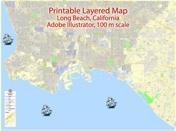
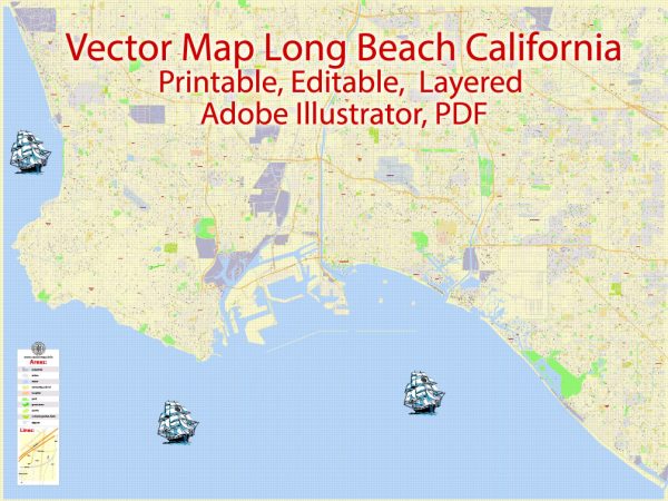
Long Beach, California, is composed of several districts and neighborhoods, each with its own unique character and charm.
Vectormap.Net provide you with the most accurate and up-to-date vector maps in Adobe Illustrator, PDF and other formats, designed for editing and printing. Please read the vector map descriptions carefully.
Here’s an overview of some of the notable districts and neighborhoods in Long Beach:
- Downtown Long Beach:
- Downtown is a vibrant area with a mix of residential, commercial, and entertainment spaces.
- Pine Avenue is a central hub with restaurants, bars, shops, and cultural attractions.
- The Pike Outlets offer shopping and dining in a waterfront setting.
- The Arts District is known for its galleries and artistic community.
- Belmont Shore:
- Belmont Shore is a coastal neighborhood known for its upscale shopping and dining along 2nd Street.
- The area features a popular beach and a boardwalk, providing a relaxed coastal atmosphere.
- Naples Island, part of Belmont Shore, is known for its canals and upscale waterfront homes.
- Bixby Knolls:
- Bixby Knolls is a historic district with a mix of residential and commercial areas.
- It features a variety of architectural styles, including Spanish Revival and Craftsman homes.
- Atlantic Avenue is a main thoroughfare with local businesses, restaurants, and galleries.
- East Village Arts District:
- This district is known for its artistic community, galleries, and eclectic shops.
- The area has a bohemian atmosphere and is home to various cultural events and festivals.
- The First Fridays Art Walk is a monthly event that attracts locals and visitors alike.
- Wrigley:
- Wrigley is a residential neighborhood with a mix of historic and modern homes.
- The neighborhood is known for its tree-lined streets and community-oriented atmosphere.
- It’s named after the Wrigley Field baseball stadium in Chicago.
- California Heights:
- California Heights is a residential neighborhood known for its historic homes, many of which showcase Spanish Colonial Revival and Tudor architectural styles.
- The area has a suburban feel with well-maintained streets and gardens.
- North Long Beach:
- North Long Beach is a diverse area with a mix of residential and industrial zones.
- The neighborhood has undergone revitalization efforts, and it is home to parks and community centers.
- Cambodia Town:
- Located along Anaheim Street, Cambodia Town is a cultural district with a significant Cambodian community.
- It features Cambodian businesses, restaurants, and cultural events.
- Los Cerritos:
- Los Cerritos is a residential neighborhood with historic homes and tree-lined streets.
- The neighborhood is home to the Rancho Los Cerritos historic site, which preserves a 19th-century adobe home and gardens.
These are just a few examples, and Long Beach has many other neighborhoods, each contributing to the city’s diverse and dynamic character. Neighborhoods may evolve and change, so it’s advisable to check more recent sources for the latest information on Long Beach’s districts and neighborhoods.


 Author: Kirill Shrayber, Ph.D. FRGS