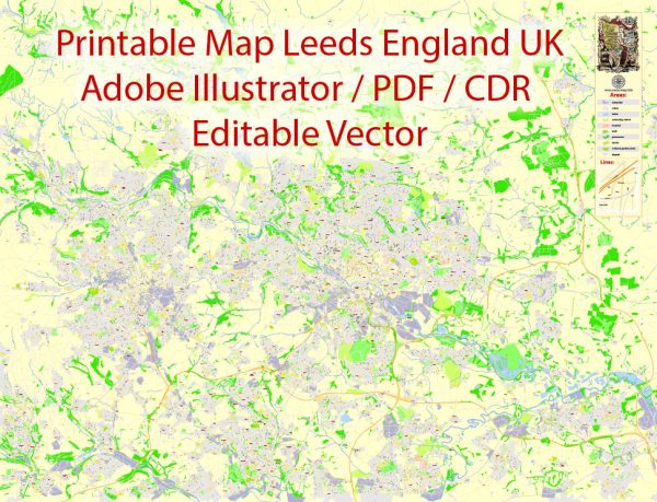
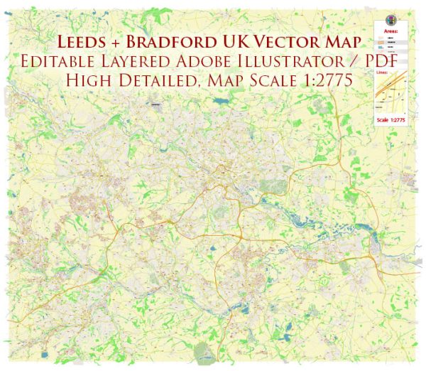
Leeds and Bradford, being sizable cities, are comprised of various districts and neighborhoods, each with its own unique character, amenities, and demographics. Vectormap.Net provide you with the most accurate and up-to-date vector maps in Adobe Illustrator, PDF and other formats, designed for editing and printing. Please read the vector map descriptions carefully. Here’s a brief overview of some of the notable districts and neighborhoods in Leeds and Bradford:
Leeds:
- City Center:
- Home to the commercial and financial heart of Leeds.
- Features shopping areas like Briggate, cultural venues, and major businesses.
- Mix of modern apartments, historic buildings, and office spaces.
- Holbeck:
- Former industrial area undergoing regeneration.
- Features cultural spaces, creative industries, and new residential developments.
- Headingley:
- Popular among students due to proximity to the University of Leeds.
- Lively atmosphere with bars, restaurants, and independent shops.
- Known for Headingley Stadium, hosting cricket and rugby events.
- Chapel Allerton:
- Trendy suburb with a village-like feel.
- Diverse range of independent shops, cafes, and restaurants.
- Attracts young professionals and families.
- Roundhay:
- Affluent residential area with Roundhay Park, one of the largest city parks in Europe.
- Varied housing options from Victorian to modern architecture.
- Ideal for families and those seeking green spaces.
Bradford:
- City Center:
- Historical architecture, including City Hall and the Alhambra Theatre.
- Shopping areas like the Kirkgate Centre.
- Boasts the National Science and Media Museum.
- Little Germany:
- Historic area known for its 19th-century warehouses.
- Has undergone regeneration, attracting businesses and residential developments.
- Saltaire:
- UNESCO World Heritage Site.
- Built by Sir Titus Salt, featuring Victorian industrial architecture.
- Offers cultural attractions and the Salts Mill art gallery.
- Manningham:
- Diverse neighborhood with a mix of housing types.
- Historical significance and cultural diversity.
- Home to Lister Park, a large public park.
- Baildon:
- A suburban area with a mix of Victorian and modern housing.
- Nestled in the Aire Valley, providing scenic views.
- Popular for outdoor activities and proximity to Baildon Moor.
- Thornton:
- Historic village with a mix of housing and green spaces.
- Birthplace of the Brontë sisters, known for the Brontë Birthplace Museum.
- Rural feel while being close to Bradford.
These descriptions provide a glimpse into the diverse and dynamic neighborhoods in Leeds and Bradford. Each area has its own unique character and appeals to different demographics, making these cities appealing for a wide range of residents and visitors.


 Author: Kirill Shrayber, Ph.D. FRGS