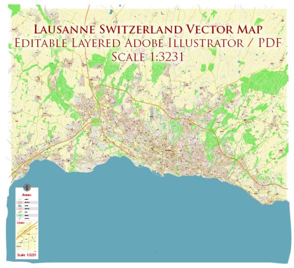
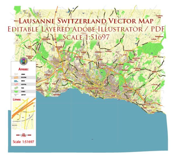
Lausanne is divided into several districts, each with its own distinct character and features. Vectormap.Net provide you with the most accurate and up-to-date vector maps in Adobe Illustrator, PDF and other formats, designed for editing and printing. Please read the vector map descriptions carefully. Here is an overview of some of the main districts and neighborhoods in Lausanne:
- City Center (Centre-Ville):
- The city center, or Old Town, is characterized by narrow medieval streets, historic buildings, and the iconic Lausanne Cathedral.
- Place de la Palud is a central square surrounded by shops, cafes, and the Hôtel de Ville (City Hall).
- The Flon district, once an industrial area, has been revitalized into a trendy urban space with shops, restaurants, and nightlife.
- Ouchy:
- Located on the shores of Lake Geneva, Ouchy is a picturesque neighborhood known for its lakeside promenade, parks, and gardens.
- The Château d’Ouchy, a former medieval castle turned into a hotel, adds to the area’s charm.
- Ouchy is a popular spot for leisure activities, including boat trips on the lake.
- Vidy:
- Vidy is situated to the west of Ouchy and is known for its beautiful lakeside parks and the Parc Bourget.
- The area is home to the Olympic Museum, which showcases the history of the Olympic Games and the achievements of athletes.
- Montriond:
- Montriond is a residential area situated to the northwest of the city center.
- It is known for its calm atmosphere, parks, and proximity to the Bois de la Bâtie, a large forested area.
- Malley:
- Malley is an area in the western part of Lausanne and is known for the Malley ice rink and sports complex.
- The neighborhood has a mix of residential and commercial spaces, including shopping centers and entertainment venues.
- Epalinges:
- Epalinges is a suburban area located to the northeast of Lausanne, offering a more tranquil residential environment.
- The University of Lausanne (UNIL) and the Swiss Federal Institute of Technology Lausanne (EPFL) are nearby, making it popular among students and academics.
- Renens:
- Renens is an urban area to the southwest of Lausanne and serves as an important transportation hub.
- It has a diverse population and features various shops, restaurants, and cultural amenities.
- Prilly:
- Prilly is located to the south of Lausanne and is known for its residential neighborhoods and green spaces.
- The Malley-Lausanne railway station provides convenient access to the city center and other destinations.
These descriptions provide a general overview of some of the key districts and neighborhoods in Lausanne. Each area contributes to the city’s overall diversity, offering residents and visitors a range of living experiences and amenities.


 Author: Kirill Shrayber, Ph.D. FRGS