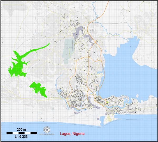
Lagos is the largest city in Nigeria and one of the fastest-growing cities in the world. It is located in the southwestern part of the country along the coast of the Gulf of Guinea. Lagos is not only a city but also a state, and it serves as the economic and commercial hub of Nigeria. Here’s a detailed description of Lagos:
- Geography:
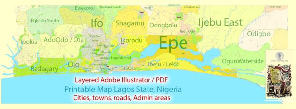
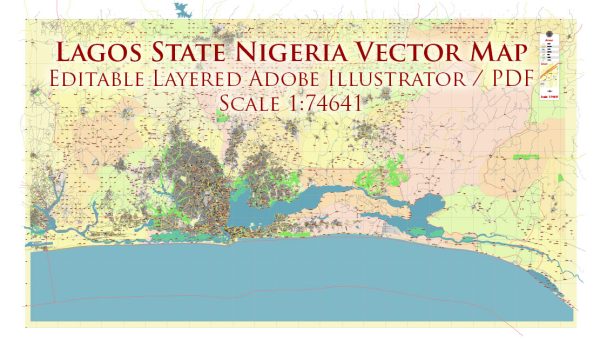
- Location: Lagos is situated in the southwestern corner of Nigeria, bordered by the Atlantic Ocean to the south.
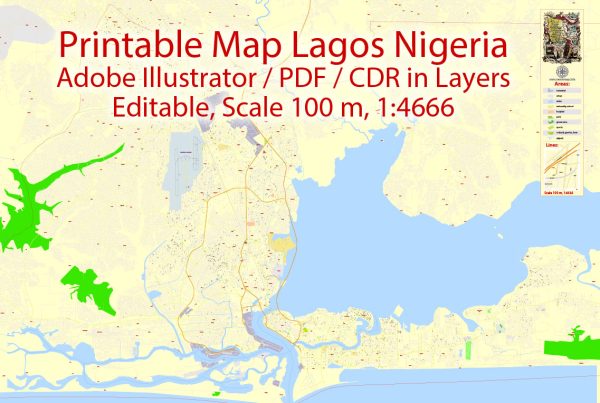
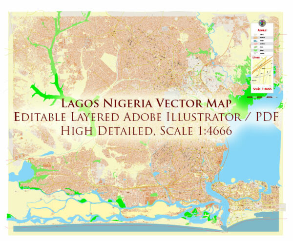
- Islands: The city includes a series of islands, such as Lagos Island, Victoria Island, Ikoyi, and Lekki, connected to the mainland by bridges.
- Population:
- Lagos is one of the most populous cities in Africa, and its population is continually growing. It have an estimated population of over 14 million people.
- Economy:
- Lagos is the economic and financial center of Nigeria, housing the country’s main financial institutions, including the Central Bank of Nigeria.
- The city has a diverse economy, with key sectors including finance, trade, manufacturing, and services.
- Business and Commerce:
- Lagos is home to Nigeria’s largest and busiest port, the Apapa Port, which plays a crucial role in the import and export activities of the country.
- Various markets, such as Balogun Market and Computer Village, are bustling commercial centers where a wide range of goods and services are traded.
- Culture:
- Lagos is a melting pot of various ethnic groups, and its cultural diversity is reflected in its vibrant arts, music, and cuisine.
- The city hosts numerous cultural events, festivals, and art exhibitions throughout the year.
- Transportation:
- Lagos has a complex transportation network, including road networks, bridges, and water transport.
- Traffic congestion is a common challenge due to the city’s rapid urbanization.
- Landmarks:
- Notable landmarks include the National Museum, Lekki Conservation Centre, Tafawa Balewa Square, Freedom Park, and the iconic Third Mainland Bridge, one of the longest bridges in Africa.
- Education:
- Lagos is home to several universities, including the University of Lagos (UNILAG), Lagos State University (LASU), and Pan-Atlantic University.
- Housing:
- The city has a mix of residential areas ranging from upscale neighborhoods like Ikoyi and Victoria Island to more middle-class and informal settlements.
- Challenges:
- Lagos faces challenges typical of a rapidly growing metropolis, such as inadequate infrastructure, traffic congestion, and environmental issues.
In summary, Lagos is a dynamic and bustling city that plays a central role in Nigeria’s economic, cultural, and social life. It has a rich history, a diverse population, and a mix of modern and traditional elements that contribute to its unique character.
Vectormap.Net provide you with the most accurate and up-to-date vector maps in Adobe Illustrator, PDF and other formats, designed for editing and printing. Please read the vector map descriptions carefully.

 Author: Kirill Shrayber, Ph.D. FRGS