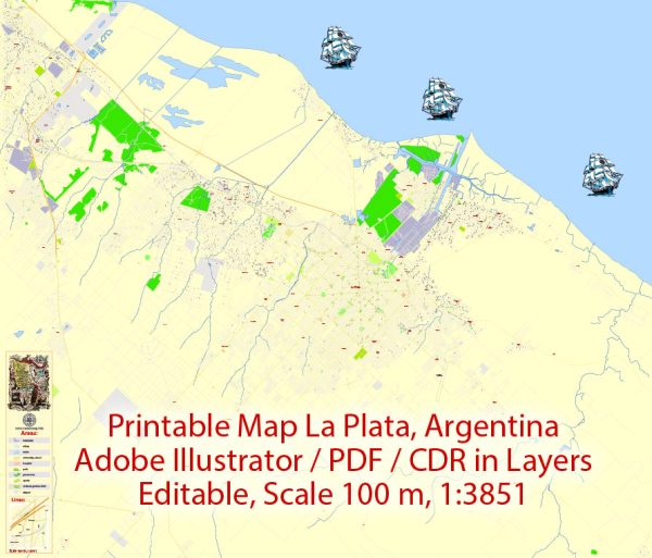
La Plata, Argentina, is divided into different districts and neighborhoods, each with its own characteristics and amenities. Vectormap.Net provide you with the most accurate and up-to-date vector maps in Adobe Illustrator, PDF and other formats, designed for editing and printing. Please read the vector map descriptions carefully. Here’s a breakdown of some of the key districts and neighborhoods in La Plata:
1. Centro (Downtown):
- The central area of La Plata is known as Centro, where you’ll find the city’s main square, Plaza Moreno. This district is characterized by commercial and business activity, historic buildings, and cultural institutions.
- Important landmarks in Centro include the Cathedral of La Plata, the Teatro Argentino, and the Municipal Palace.
2. La Loma:
- La Loma is a residential neighborhood located to the southwest of the city center. It is known for its tree-lined streets and a mix of architectural styles, including both historic and more modern homes.
- This area is relatively tranquil, with parks and green spaces offering residents a peaceful environment.
3. Tolosa:
- Tolosa is a district with a mix of residential and industrial areas. It is home to the Universidad Nacional de La Plata’s Faculty of Exact Sciences and the School of Agricultural Sciences.
- This neighborhood is known for its strong connection to academic and scientific activities.
4. Los Hornos:
- Located to the west of the city center, Los Hornos is a predominantly residential area. It is known for its parks, schools, and local shops.
- This neighborhood has a suburban feel, making it a popular choice for families.
5. Ring of Avenues:
- La Plata is renowned for its grid layout, and the Ring of Avenues surrounds the city center. Avenues such as 7, 32, and 44 mark the limits of the central area.
- Along these avenues, you’ll find a mix of commercial, residential, and institutional buildings.
6. Villa Elvira:
- Located to the southeast of the city center, Villa Elvira is a residential neighborhood with a mix of housing types. It is known for its parks and sports facilities.
- This area has a suburban character and is a popular choice for those seeking a quieter living environment.
7. City Bell:
- City Bell is an upscale residential neighborhood located to the northeast of La Plata. It is known for its larger homes, green spaces, and proximity to the countryside.
- The neighborhood has a suburban atmosphere, and it is often chosen by those looking for a more exclusive living experience.
8. Gonnet:
- Gonnet is another residential neighborhood in La Plata, known for its parks, schools, and cultural centers. It is located to the south of the city center.
- This area is popular among families due to its residential character and various amenities.
These are just a few examples of the districts and neighborhoods within La Plata, each contributing to the city’s diverse and dynamic urban landscape. The combination of residential, commercial, and cultural elements makes La Plata an interesting and multifaceted city to explore.


 Author: Kirill Shrayber, Ph.D. FRGS