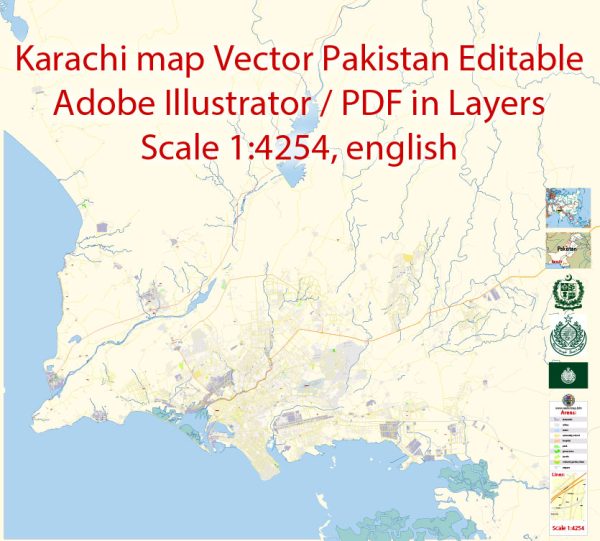
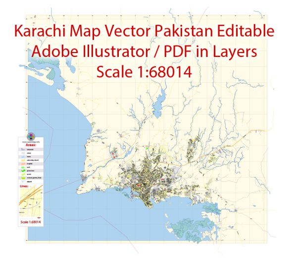
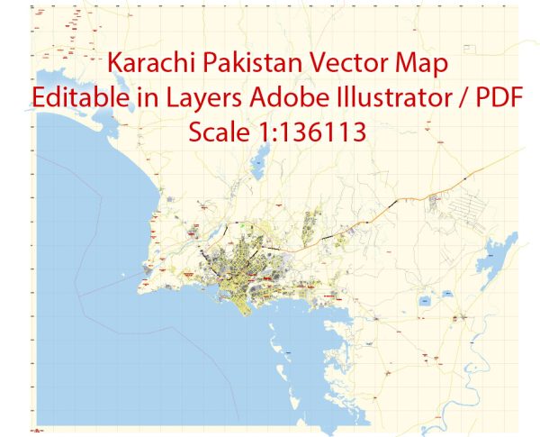
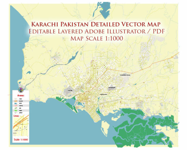
Karachi, the largest city in Pakistan, is divided into several districts and neighborhoods, each with its own unique characteristics. Vectormap.Net provide you with the most accurate and up-to-date vector maps in Adobe Illustrator, PDF and other formats, designed for editing and printing. Please read the vector map descriptions carefully. Here is an overview of some of the main districts and neighborhoods in Karachi:
- South Karachi:
- Clifton: A posh residential and commercial area known for its upscale housing, shopping malls, and seaside attractions.
- Defence (DHA): A well-planned and affluent residential area with modern amenities and military influence.
- East Karachi:
- Gulshan-e-Iqbal: One of the most populous areas, offering a mix of residential and commercial spaces, educational institutions, and parks.
- Johar Town: A predominantly residential area known for its middle-class housing schemes.
- Central Karachi:
- Saddar: The historic and commercial heart of the city, featuring markets, government offices, and historical landmarks.
- Liaquatabad: A densely populated area with a mix of residential and commercial activities.
- West Karachi:
- SITE (Sindh Industrial Trading Estate): An industrial area with factories and warehouses.
- Orangi Town: One of the largest informal settlements in Asia, known for its tight-knit communities and self-help initiatives.
- Korangi District:
- Korangi Industrial Area: An industrial zone contributing significantly to Karachi’s economic activity.
- Korangi: A mix of industrial and residential areas.
- Malir District:
- Malir Cantonment: A military-controlled area with residential and recreational facilities.
- Model Colony: A residential area with a mix of middle-class and upper-middle-class housing.
- West Karachi:
- Gadap Town: A suburban area with a mix of rural and urban characteristics.
- Surjani Town: A residential area with housing schemes for middle-income families.
- Central District:
- Lyari: Known for its vibrant culture, Lyari has historically been a densely populated area with a diverse population.
- Kiamari District:
- Keamari: A coastal area with a port and industrial activities.
Keep in mind that Karachi is a dynamic and rapidly changing city, and new developments may have occurred since my last update. Additionally, the social and economic landscape can vary widely within each district, with some areas being more affluent and developed, while others may face challenges related to infrastructure and services.


 Author: Kirill Shrayber, Ph.D. FRGS