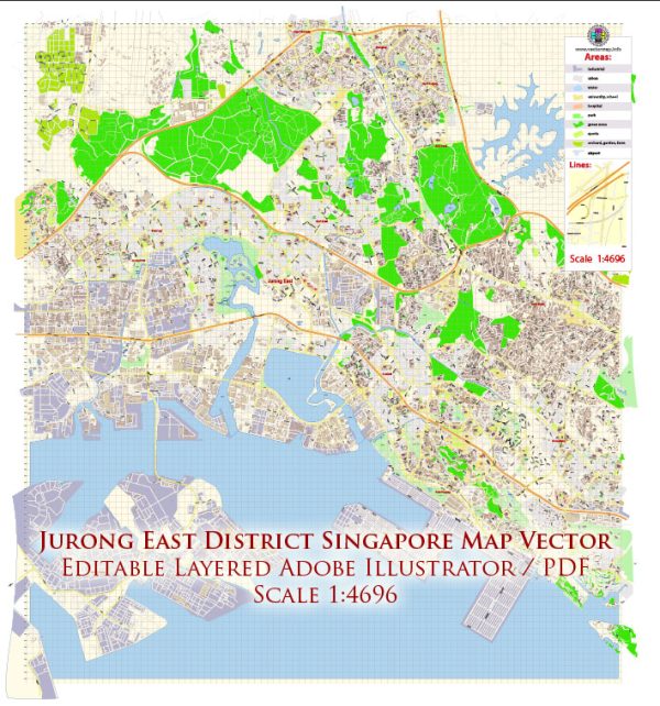
Jurong East is a planning area and a residential town located in the western part of Singapore. It is part of the Jurong Lake District, which is a major regional center in Singapore. Vectormap.Net provide you with the most accurate and up-to-date vector maps in Adobe Illustrator, PDF and other formats, designed for editing and printing. Please read the vector map descriptions carefully.
Here’s a detailed description of Jurong East as of my last update:
- Location:
- Jurong East is situated in the western part of Singapore and is part of the West Region.
- It is bordered by Jurong West, Clementi, Bukit Batok, and Bukit Timah.
- Transportation:
- Jurong East is a major transportation hub in Singapore. The Jurong East MRT Station serves as an interchange station for the East-West Line and North-South Line, making it a crucial transportation node for commuters.
- The Jurong East Bus Interchange facilitates bus services connecting various parts of the island.
- Shopping and Entertainment:
- The district is home to several shopping malls, including JCube, JEM, Westgate, and IMM, offering a wide range of retail, dining, and entertainment options.
- IMM is one of Singapore’s largest outlet malls, featuring outlet stores of many international and local brands.
- Jurong Lake District:
- Jurong East is a key component of the Jurong Lake District (JLD), which is slated to become the largest commercial hub outside the city center.
- The JLD is envisioned as a mixed-use precinct, featuring business, residential, and recreational elements. It includes the development of Lakeside Gateway, Lakeside Village, and Lakeside Island.
- Educational Institutions:
- There are several educational institutions in and around Jurong East, including institutions at the tertiary level like Ngee Ann Polytechnic and Jurong Junior College.
- Housing:
- Jurong East consists of both residential and industrial areas. The residential areas offer a mix of public housing (HDB flats) and private condominiums.
- Employment and Industry:
- The district is home to industrial and business parks, contributing to the economic activity in the region. Companies in various sectors, including technology and manufacturing, have a presence in Jurong East.
- Recreational Facilities:
- Jurong East is close to recreational areas such as Jurong Lake Park, which provides green spaces and outdoor activities.
- The Singapore Science Centre and the Snow City are popular attractions for families and science enthusiasts.
- Future Developments:
- As of my last update, plans for the continued development of the Jurong Lake District were underway, with the goal of transforming it into a vibrant business and lifestyle hub.
It’s essential to note that Singapore is a rapidly developing city-state, and changes and developments in districts like Jurong East are likely to have occurred since my last update. For the latest and most accurate information, it is advisable to check with local sources or official government announcements.


 Author: Kirill Shrayber, Ph.D. FRGS