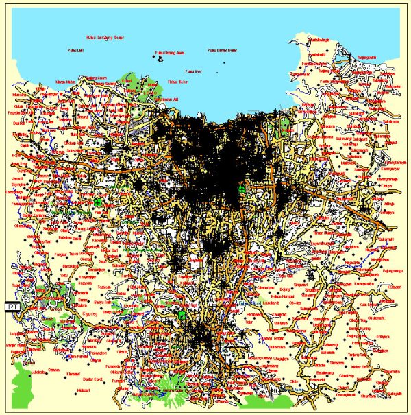
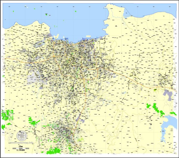
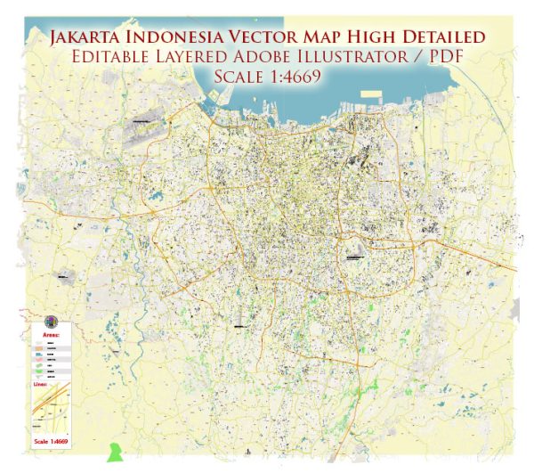
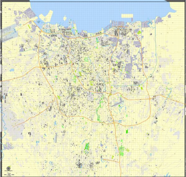
Jakarta, the capital and largest city of Indonesia, is a sprawling metropolis divided into several districts and neighborhoods, each with its own unique character and features. Vectormap.Net provide you with the most accurate and up-to-date vector maps in Adobe Illustrator, PDF and other formats, designed for editing and printing. Please read the vector map descriptions carefully. Here is an overview of some key districts and neighborhoods in Jakarta:
- Central Jakarta:
- Thamrin and Sudirman: These are the central business districts with numerous high-rise buildings, shopping malls, and luxury hotels.
- Monas (National Monument) Area: Home to the iconic National Monument, Merdeka Square, and government offices.
- South Jakarta:
- Kemang: Known for its vibrant nightlife, Kemang is a popular expatriate area with trendy cafes, restaurants, and art galleries.
- Senayan: This area is famous for the Gelora Bung Karno sports complex, including the Senayan City shopping mall.
- Kuningan: A business and diplomatic area with upscale residences, shopping centers, and foreign embassies.
- West Jakarta:
- Taman Anggrek: Home to one of the largest shopping malls in Southeast Asia, Taman Anggrek Mall, and a mix of residential and commercial areas.
- Puri Indah: A residential and commercial area with housing complexes, shopping malls, and entertainment centers.
- East Jakarta:
- Kelapa Gading: Known for its extensive residential and commercial areas, including Kelapa Gading Mall and the Jakarta International Expo.
- Cibubur: A suburban area with residential developments, schools, and recreational facilities.
- North Jakarta:
- Ancol: A coastal area with a mix of entertainment options, including Ancol Dreamland (a waterfront amusement park), beaches, and hotels.
- Pluit: A residential and business district with a prominent waterfront, known for its seafood restaurants.
- West Jakarta:
- Tangerang: Although not part of Jakarta, Tangerang is a satellite city that is closely connected. It has its own industrial and residential areas.
- South Tangerang:
- BSD City (Bumi Serpong Damai): A planned city with residential, commercial, and industrial zones, as well as educational institutions.
Keep in mind that Jakarta’s urban landscape is dynamic, and new developments may have occurred since my last update. Additionally, the city’s neighborhoods can be diverse, offering a range of experiences from traditional markets to modern shopping centers, from cultural landmarks to nightlife hotspots.


 Author: Kirill Shrayber, Ph.D. FRGS