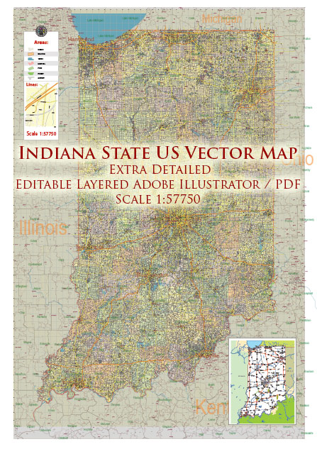
Indiana is a state located in the Midwestern region of the United States. Its principal cities, waterways, and main roads contribute to the state’s economic and cultural significance. Here’s a brief description of some of them:
Principal Cities:
- Indianapolis:
- The capital and largest city of Indiana.
- Known for the Indianapolis Motor Speedway, home to the famous Indianapolis 500.
- A major economic and cultural hub, with museums, sports venues, and a vibrant downtown.
- Fort Wayne:
- The second-largest city in Indiana.
- Historically known for manufacturing and trade.
- Features a mix of cultural attractions, parks, and a growing downtown scene.
- Evansville:
- Located in the southwestern part of the state on the Ohio River.
- A regional hub for commerce, education, and health services.
- Rich in history and offers a variety of cultural events.
- South Bend:
- Home to the University of Notre Dame.
- Known for its historic sites and cultural institutions.
- Has a diverse economy with a focus on education and healthcare.
- Gary:
- Located on the shores of Lake Michigan.
- Historically an industrial city with a focus on steel production.
- Facing economic challenges but undergoing revitalization efforts.
Waterways:
- Ohio River:
- Forms the southern border of Indiana.
- A major transportation route for goods and a source of recreation.
- Lake Michigan:
- Forms the northwest border of Indiana.
- Provides shipping access and recreational opportunities.
- Wabash River:
- Flows through the western part of the state.
- Important for transportation and historically significant.
- White River:
- Flows through central Indiana, including Indianapolis.
- Contributes to the state’s water resources and offers recreational activities.
Main Roads:
- Interstate Highways:
- I-65: Runs north-south, connecting Indianapolis to cities like Gary and Louisville.
- I-70: Crosses the state from east to west, passing through Indianapolis.
- I-74: Connects Indianapolis to the Illinois border in the west.
- I-69: Connects Indianapolis to Fort Wayne and beyond.
- U.S. Highways:
- U.S. 31: Runs north-south through the central part of the state.
- U.S. 20: Crosses northern Indiana, connecting to major cities like South Bend and Fort Wayne.
- U.S. 41: Connects Evansville in the south to Lake Michigan in the north.
These cities, waterways, and roadways collectively contribute to Indiana’s economic development, cultural richness, and connectivity within the broader region.
Vectormap.Net provide you with the most accurate and up-to-date vector maps in Adobe Illustrator, PDF and other formats, designed for editing and printing. Please read the vector map descriptions carefully.


 Author: Kirill Shrayber, Ph.D. FRGS