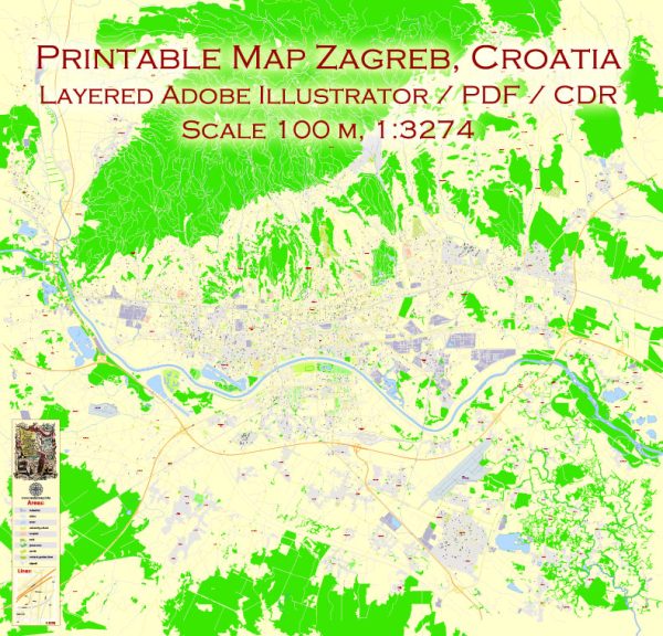
Some general information about the principal waterways, bridges, and main streets in Zagreb, Croatia. Vectormap.Net provide you with the most accurate and up-to-date vector maps in Adobe Illustrator, PDF and other formats, designed for editing and printing. Please read the vector map descriptions carefully.
Waterways: Zagreb is not known for major navigable waterways. The Sava River is the largest river near Zagreb, but it doesn’t pass directly through the city. Instead, it is located to the south, forming a natural border between Croatia and Slovenia.
Bridges:
- Zagreb Main Railway Bridge (Željeznički kolodvor): This is a prominent bridge that spans the Sava River, connecting the main railway station to the city center.
- Homeland Bridge (Domovinski most): Another significant bridge on the Sava River, connecting the northern and southern parts of Zagreb.
Main Streets:
- Ilica: One of the longest and most famous streets in Zagreb, Ilica is a bustling thoroughfare with shops, cafes, and cultural sites.
- Ban Jelačić Square (Trg bana Josipa Jelačića): While not a street, this central square is a major hub and a starting point for many streets in Zagreb. It’s a popular meeting place and a focal point for events and gatherings.
- Radićeva Street: A charming pedestrian street in the city center, known for its historic architecture and vibrant atmosphere.
- Tkalčićeva Street: Another pedestrian street lined with cafes, restaurants, and boutiques, known for its lively ambiance.
- Vlaška Street: Connecting the main square to the British Square, Vlaška Street is lined with shops and serves as a popular route for both pedestrians and vehicles.
Please note that these are just a few examples, and Zagreb has many more streets, squares, and landmarks to explore. Additionally, urban development and infrastructure may have evolved since my last update, so it’s advisable to check more recent sources for the latest information.


 Author: Kirill Shrayber, Ph.D. FRGS