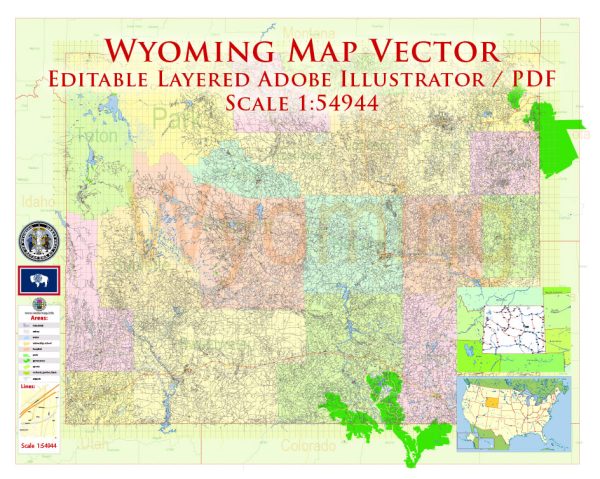
Wyoming, located in the western part of the United States, is known for its vast landscapes, outdoor recreational opportunities, and relatively low population density. Here’s a description of some of its principal cities, waterways, and main roads:
Principal Cities:
- Cheyenne:
- Description: Cheyenne is the capital and largest city of Wyoming. It is located in the southeastern part of the state and is known for its western heritage, including the annual Cheyenne Frontier Days rodeo.
- Casper:
- Description: Casper is the second-largest city in Wyoming and is situated in the central part of the state along the North Platte River. It serves as a regional economic hub and is known for its outdoor recreation opportunities.
- Laramie:
- Description: Laramie is located in the southeastern part of Wyoming and is home to the University of Wyoming. It has a vibrant cultural scene and is surrounded by the Medicine Bow National Forest.
- Gillette:
- Description: Gillette is situated in the northeastern part of Wyoming and is known for its energy industry, particularly coal mining. It serves as a gateway to the nearby Black Hills and Devils Tower.
Waterways:
- North Platte River:
- Description: The North Platte River flows through the central and eastern parts of Wyoming, providing water for agriculture and recreation. It is popular for fly fishing, kayaking, and rafting.
- Snake River:
- Description: The Snake River flows through the western part of Wyoming, and its headwaters are in Yellowstone National Park. It offers scenic beauty and opportunities for fishing and river rafting.
- Green River:
- Description: The Green River traverses the southwestern part of Wyoming, carving through rugged landscapes. It is known for its picturesque canyons and is popular for boating and fishing.
Main Roads:
- Interstate 25 (I-25):
- Description: I-25 runs north-south through Wyoming, connecting the state from the southern border with Colorado to the northern border with Montana. It passes through major cities such as Cheyenne and Casper.
- Interstate 80 (I-80):
- Description: I-80 is an east-west interstate that spans the southern part of Wyoming. It connects major cities like Cheyenne and Laramie and serves as a crucial transportation route.
- US Route 287:
- Description: US 287 traverses Wyoming from the southern border with Colorado to the northern border with Montana. It passes through cities like Laramie and serves as an important north-south route.
- US Route 14/16/20 (Buffalo Bill Cody Scenic Byway):
- Description: This scenic route runs through northwestern Wyoming, passing through Cody and leading to the east entrance of Yellowstone National Park. It offers stunning views of the Absaroka Range and Shoshone National Forest.
These principal cities, waterways, and main roads showcase the diversity and natural beauty of Wyoming, making it a unique and attractive state for residents and visitors alike.
Vectormap.Net provide you with the most accurate and up-to-date vector maps in Adobe Illustrator, PDF and other formats, designed for editing and printing. Please read the vector map descriptions carefully.


 Author: Kirill Shrayber, Ph.D. FRGS