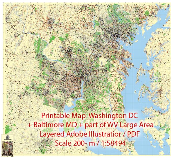
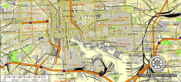
A general overview of the infrastructure in Washington, D.C., and Baltimore, Maryland. Vectormap.Net provide you with the most accurate and up-to-date vector maps in Adobe Illustrator, PDF and other formats, designed for editing and printing. Please read the vector map descriptions carefully.
Washington, D.C.:
- Transportation:
- Washington, D.C. has a well-developed public transportation system, including the Metrorail and Metrobus services.
- The city is served by several major highways, including Interstate 495 (the Capital Beltway) and Interstate 66.
- Airports:
- Ronald Reagan Washington National Airport and Washington Dulles International Airport are the major airports serving the D.C. metropolitan area.
- Roads and Bridges:
- Key bridges, such as the Arlington Memorial Bridge and the Theodore Roosevelt Bridge, connect Washington, D.C. with neighboring Virginia.
- Public Facilities:
- Washington, D.C. is home to numerous national monuments, government buildings, museums, and cultural institutions.
Baltimore, Maryland:
- Transportation:
- Baltimore has an extensive public transportation system, including the Baltimore Metro Subway and the Maryland Transit Administration (MTA) bus services.
- The city is well-connected by major highways, including Interstate 95 and Interstate 695.
- Port of Baltimore:
- The Port of Baltimore is a major shipping hub on the East Coast, handling containerized cargo, automobiles, and other goods.
- Rail and Freight:
- Baltimore is a key hub for freight rail transportation, with significant rail yards and connections.
- Baltimore/Washington International Thurgood Marshall Airport (BWI):
- BWI is a major airport serving the Baltimore-Washington metropolitan area.
- Harbor and Waterfront:
- Baltimore’s Inner Harbor is a prominent waterfront area with attractions, restaurants, and recreational activities.
- Infrastructure Development:
- Both Washington, D.C., and Baltimore have ongoing infrastructure projects aimed at improving transportation, addressing traffic congestion, and enhancing connectivity.
It’s important to note that infrastructure projects and developments are subject to change, and new initiatives may have been introduced since my last update. For the most current information, it is recommended to refer to local government sources, transportation authorities, and official announcements.


 Author: Kirill Shrayber, Ph.D. FRGS