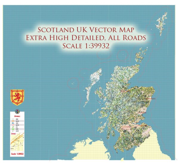
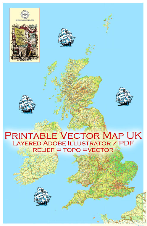
The United Kingdom (UK) is made up of Great Britain and Northern Ireland. Great Britain comprises three countries: England, Scotland, and Wales. Ireland, in this context, typically refers to the island as a whole, which includes both Northern Ireland (part of the UK) and the Republic of Ireland (an independent nation).
Here’s a brief description of the principal cities, waterways, and main roads in the UK, Great Britain, and Ireland:
Principal Cities:
England:
- London: The capital and largest city of both England and the UK.
- Manchester: A major city in the northwest, known for its industrial heritage and vibrant cultural scene.
- Birmingham: Located in the West Midlands, it is a significant economic and cultural center.
Scotland:
- Edinburgh: The capital city, known for its historic and cultural significance.
- Glasgow: A major port city on the River Clyde, known for its architecture and cultural attractions.
- Aberdeen: Located in the northeast, it is known for its role in the oil industry.
Wales:
- Cardiff: The capital and largest city, located on the south coast of Wales.
- Swansea: A coastal city with a strong industrial and maritime history.
Northern Ireland:
- Belfast: The capital and largest city, known for its history and shipbuilding legacy.
- Derry/Londonderry: A city with a rich history and cultural significance.
Waterways:
Rivers:
- Thames: Flowing through southern England, the Thames is the longest river entirely in England and passes through London.
- Severn: The longest river in the UK, flowing through Wales and England.
- Clyde: Flowing through Glasgow, Scotland, and into the Irish Sea.
Lakes:
- Loch Ness: Located in the Scottish Highlands, famous for the legend of the Loch Ness Monster.
- Lough Neagh: The largest lake in the UK, located in Northern Ireland.
Main Roads:
- M1, M6, M25 (Motorways): These are major motorways connecting various parts of England, with the M25 encircling Greater London.
- A1 (Great North Road): A major road connecting London to Edinburgh.
- M8 (Scotland): Connecting Edinburgh and Glasgow, a vital route in Scotland.
- M50 (Ireland): Encircling Dublin, connecting major routes in Ireland.
These are just a few examples, and the UK, Great Britain, and Ireland have an extensive network of roads, rivers, and cities that contribute to their rich cultural, historical, and economic tapestry.


 Author: Kirill Shrayber, Ph.D. FRGS