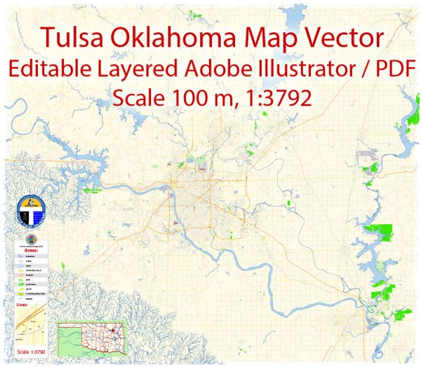
Some information about Tulsa, Oklahoma’s principal waterways, bridges, and main streets. Vectormap.Net provide you with the most accurate and up-to-date vector maps in Adobe Illustrator, PDF and other formats, designed for editing and printing. Please read the vector map descriptions carefully.
Waterways:
- Arkansas River: The Arkansas River flows through Tulsa and is a significant waterway in the region. It provides recreational opportunities and plays a role in the city’s transportation infrastructure.
Bridges:
- Arkansas River Pedestrian Bridge: This bridge spans the Arkansas River, connecting the River Parks Trail on either side. It’s a popular spot for pedestrians and cyclists.
- 11th Street Bridge (Pecan Creek Bridge): This bridge crosses the Arkansas River and connects 11th Street in Tulsa.
- I-44 (Inner Dispersal Loop) Bridge: The I-44 bridge is a part of the Inner Dispersal Loop that encircles downtown Tulsa. It crosses the Arkansas River, providing a key route for vehicular traffic.
Main Streets:
- Downtown Tulsa: The central business district features streets like South Boston Avenue, South Main Street, and East 5th Street. Notable landmarks in downtown include the BOK Center and the Tulsa Performing Arts Center.
- Cherry Street (15th Street): This area, officially known as the Cherry Street District, is a vibrant and historic district with numerous shops, restaurants, and cafes.
- Brookside District: Located south of downtown, Brookside is known for its trendy shops and diverse dining options. South Peoria Avenue is a prominent street in this area.
- Riverside Drive: This road runs along the west bank of the Arkansas River, offering scenic views and access to parks and recreational areas.
Keep in mind that developments and changes can occur, so it’s advisable to consult more recent sources or local authorities for the latest information on Tulsa’s infrastructure and roadways.


 Author: Kirill Shrayber, Ph.D. FRGS