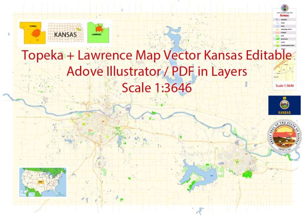
A general overview of the urban layout and transportation infrastructure of Topeka and Lawrence, Kansas. Vectormap.Net provide you with the most accurate and up-to-date vector maps in Adobe Illustrator, PDF and other formats, designed for editing and printing. Please read the vector map descriptions carefully.
Topeka, Kansas:
Urban Layout:
Topeka is the capital city of Kansas and is situated along the Kansas River. The city is known for its government institutions, including the Kansas State Capitol. The urban layout includes a mix of residential, commercial, and industrial areas.
Transportation Infrastructure:
- Roads and Highways:
- Interstate 70 (I-70) passes through Topeka, connecting it to other major cities in Kansas and beyond.
- I-470 forms a loop around the southern and western parts of the city.
- Other significant highways include I-335, I-470, and US Route 75.
- Public Transportation:
- Topeka Metro provides public transportation services, including bus routes serving various parts of the city.
Lawrence, Kansas:
Urban Layout:
Lawrence is a city situated along the banks of the Kansas River, known for being the home of the University of Kansas. The city has a mix of historic and modern architecture, with a vibrant downtown area.
Transportation Infrastructure:
- Roads and Highways:
- Lawrence is accessible via Interstate 70 (I-70) to the north.
- K-10, a state highway, connects Lawrence to the Kansas City metropolitan area.
- Public Transportation:
- Lawrence Transit System (LTS) operates public bus services within the city, connecting various neighborhoods and the University of Kansas campus.
- Bicycling:
- Lawrence is known for being bike-friendly, with bike lanes and trails that encourage cycling as a means of transportation.
Both cities generally rely on automobile transportation, and their layouts are characteristic of many Midwestern cities with a mix of residential, commercial, and industrial zones. Additionally, the development of transportation infrastructure is influenced by the region’s geography and the needs of the local population.
For the most current and detailed information, it is recommended to check with local government websites, transportation authorities, or urban planning departments in Topeka and Lawrence.


 Author: Kirill Shrayber, Ph.D. FRGS