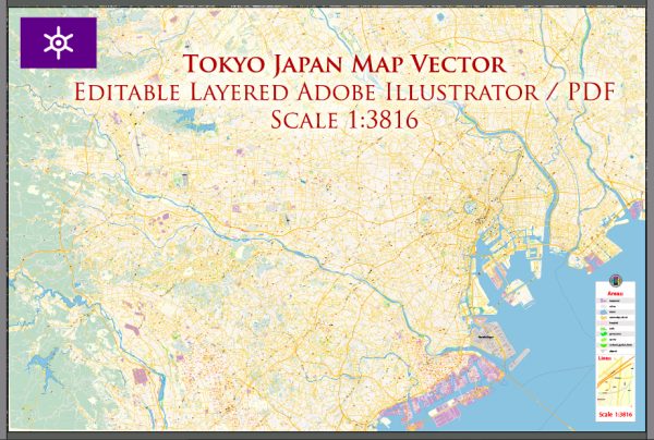
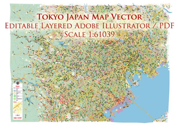
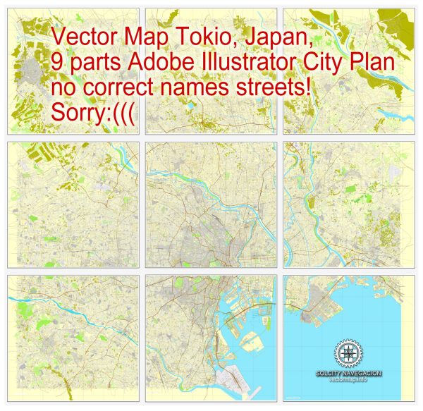
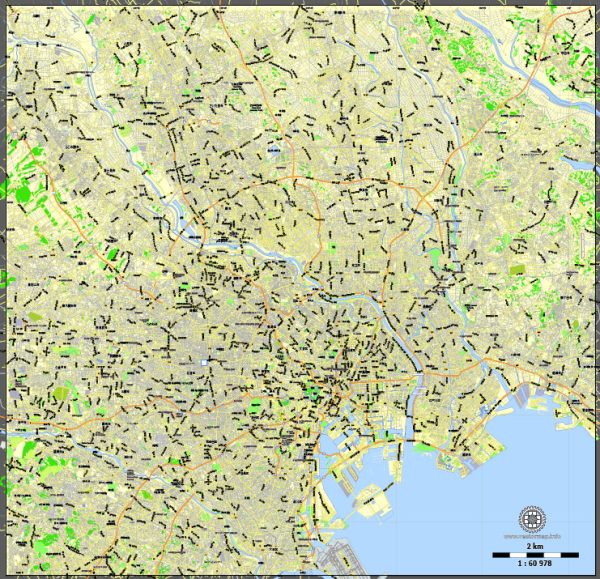
Tokyo, the capital city of Japan, is a vast and densely populated metropolis with a complex network of waterways, bridges, and main streets. Here’s an overview of some of the principal waterways, bridges, and main streets in Tokyo:
Waterways:
- Sumida River:
- One of the major rivers in Tokyo, flowing through the eastern part of the city.
- Several bridges cross the Sumida River, offering picturesque views of the Tokyo skyline.
- Meguro River:
- Flows through the southwestern part of Tokyo.
- Known for its scenic cherry blossom (sakura) lined paths during the spring.
- Kanda River:
- Runs through central Tokyo, passing through districts like Akihabara and Ochanomizu.
- Arakawa River:
- Flows through the northern part of Tokyo, separating it from Saitama Prefecture.
Bridges:
- Tokyo Skytree:
- Offers panoramic views of the city and is located near the Sumida River.
- Rainbow Bridge:
- Connects the artificial island of Odaiba to the Tokyo mainland across Tokyo Bay.
- Nihonbashi Bridge:
- Historic bridge located in the heart of Tokyo, symbolizing the starting point of major highways in Japan.
- Akihabara Pedestrian Bridge:
- Spans the Kanda River, providing access to the famous Akihabara district.
Main Streets:
- Chuo Dori:
- Located in the heart of Tokyo’s shopping district, Ginza.
- A bustling street lined with upscale shops, department stores, and theaters.
- Harajuku Takeshita Street:
- Famous for its trendy and eclectic fashion scene.
- A vibrant and youthful atmosphere with unique boutiques and cafes.
- Shibuya Crossing:
- Not a traditional street but a famous pedestrian crossing.
- Located outside Shibuya Station, one of the busiest crossings in the world.
- Omotesando Avenue:
- Often referred to as Tokyo’s Champs-Élysées.
- Lined with upscale shops, boutiques, and stylish cafes.
- Roppongi Dori:
- Runs through the Roppongi district, known for its nightlife and entertainment.
- Home to various international embassies and cultural institutions.
Tokyo’s waterways, bridges, and main streets collectively contribute to the city’s vibrant and diverse urban landscape, showcasing a blend of modernity and tradition. The city’s extensive transportation network and iconic landmarks make exploring Tokyo an exciting and dynamic experience.
Vectormap.Net provide you with the most accurate and up-to-date vector maps in Adobe Illustrator, PDF and other formats, designed for editing and printing. Please read the vector map descriptions carefully.


 Author: Kirill Shrayber, Ph.D. FRGS