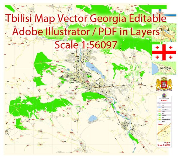
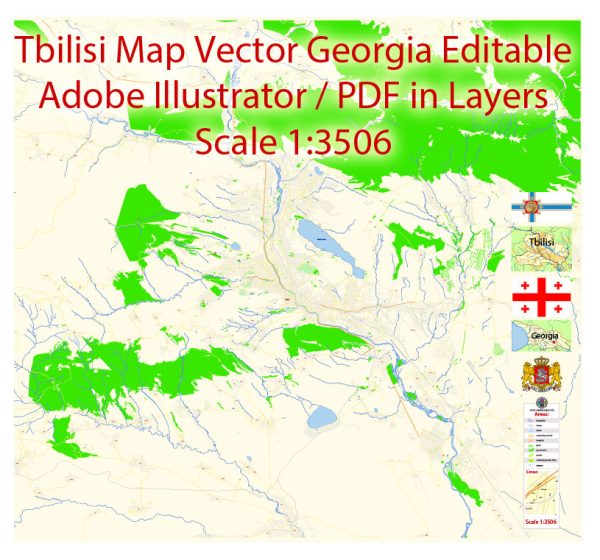
A general overview of Tbilisi’s principal waterways, bridges, and main streets. Vectormap.Net provide you with the most accurate and up-to-date vector maps in Adobe Illustrator, PDF and other formats, designed for editing and printing. Please read the vector map descriptions carefully.
Waterways:
- Kura River (Mtkvari River): The Kura River flows through Tbilisi, dividing the city into two parts. Several bridges connect the two sides, facilitating transportation and offering picturesque views.
Bridges:
- Peace Bridge (Bridge of Peace): A modern pedestrian bridge that spans the Kura River, connecting the Rike Park area with the Old Town. It is known for its distinctive, contemporary design.
- Metekhi Bridge: This bridge connects the Metekhi district with the Old Town and provides stunning views of the city and the Narikala Fortress.
- Baratashvili Bridge: Also known as the Pushkin Bridge, it is located in the central part of the city, connecting Baratashvili Street with Erekle II Street.
Main Streets:
- Rustaveli Avenue: The central avenue in Tbilisi, known for its shops, theaters, and government buildings. It’s a hub for cultural and political activities.
- Agmashenebeli Avenue: This historic avenue is lined with charming buildings, cafes, and shops. It underwent restoration to revive its historical character.
- Freedom Square (Tavisuplebis Moedani): A significant square located at the eastern end of Rustaveli Avenue. It features the Freedom Monument and is surrounded by important buildings.
- Chavchavadze Avenue: Named after the Georgian writer and public figure Ilia Chavchavadze, this avenue is known for its greenery, shops, and cafes.
- Aghmashenebeli Avenue: An important street in Tbilisi with a historical and cultural significance. It has been revitalized to become a popular spot for locals and tourists.
Remember that city infrastructure can change, and new developments may have occurred since my last update. For the most accurate and up-to-date information, it’s recommended to consult local sources or maps specific to Tbilisi.


 Author: Kirill Shrayber, Ph.D. FRGS