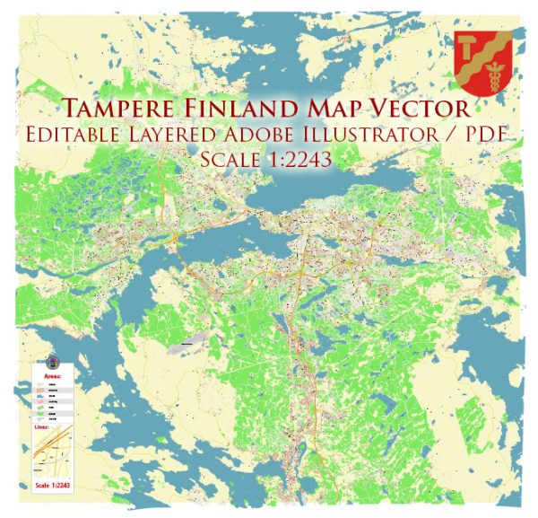
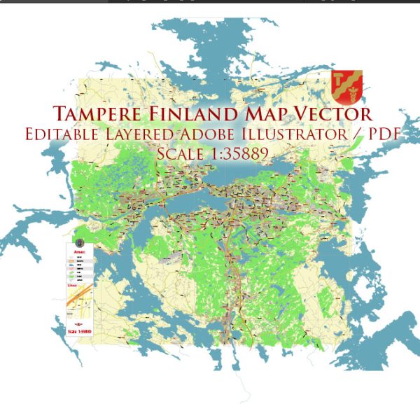
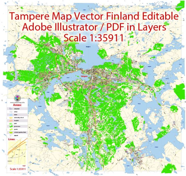
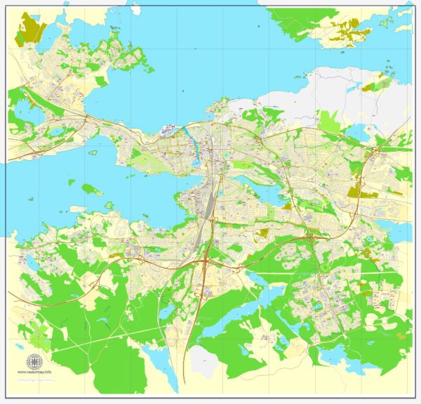
Tampere is a city in southern Finland known for its industrial history, vibrant cultural scene, and beautiful natural surroundings. It is situated between two large lakes, Näsijärvi and Pyhäjärvi, and is traversed by the Tammerkoski rapids. Vectormap.Net provide you with the most accurate and up-to-date vector maps in Adobe Illustrator, PDF and other formats, designed for editing and printing. Please read the vector map descriptions carefully.
Waterways:
- Tammerkoski Rapids: Tammerkoski is a significant waterway that runs through the city center. It connects Lake Näsijärvi to Lake Pyhäjärvi, providing a scenic and historically important element to Tampere. The rapids have played a crucial role in the industrial development of the city.
- Näsijärvi and Pyhäjärvi Lakes: While not within the city center, these lakes are essential to Tampere’s identity and landscape. They offer recreational opportunities, and the cityscape often reflects their presence.
Bridges:
- Hämeensilta (Häme Bridge): Located in the city center, this is one of the oldest bridges in Tampere. It spans the Tammerkoski Rapids and connects the districts of Tammela and Hämeenpuisto.
- Ratinan Sillat (Ratina Bridges): These modern bridges are part of the Ratinanranta area development, crossing the Tammerkoski Rapids near the Ratina shopping center.
- Lapinniemi Bridge: Connecting the districts of Lapinniemi and Tammela, this bridge is situated near the Tampere Stadium.
Main Streets:
- Hämeenkatu: Hämeenkatu is the main street in Tampere and runs through the city center. It is lined with shops, restaurants, and cultural institutions.
- Aleksanterinkatu: Another important street in the city center, Aleksanterinkatu intersects with Hämeenkatu and is known for its commercial activities.
- Itäinenkatu: This street runs along the eastern side of the Tammerkoski Rapids, offering scenic views and access to various attractions.
- Ratinanrantatie: Located in the Ratina area, this street provides access to the Ratina shopping center and the surrounding development.
- Satakunnankatu: Running parallel to Hämeenkatu, Satakunnankatu is another significant street in the city center.
Please note that urban development projects and changes in infrastructure may have occurred since my last update, so it’s advisable to consult more recent sources for the latest information.


 Author: Kirill Shrayber, Ph.D. FRGS