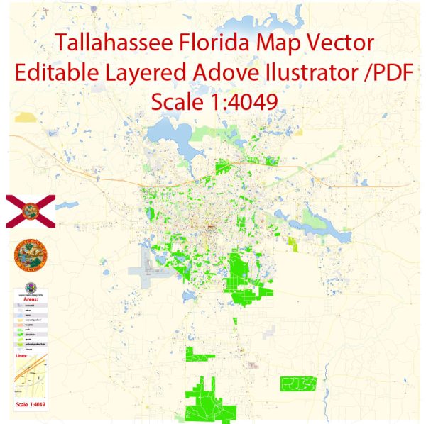
A general overview of Tallahassee, Florida’s principal waterways, bridges, and main streets and roads. Vectormap.Net provide you with the most accurate and up-to-date vector maps in Adobe Illustrator, PDF and other formats, designed for editing and printing. Please read the vector map descriptions carefully.
Principal Waterways:
- St. Marks River: Flows south of Tallahassee and empties into the Gulf of Mexico.
- Ochlockonee River: Another significant river in the region, flowing to the southwest and also reaching the Gulf of Mexico.
- Lake Talquin: A reservoir formed by the damming of the Ochlockonee River, providing recreational opportunities.
Bridges:
- Apalachee Parkway Bridge: Crosses over the St. Marks River and connects the eastern and western parts of Tallahassee.
- Monroe Street Bridge: Spans over the Lake Bradford portion of the Ochlockonee River.
- Tennessee Street Bridge: Crosses over the Ochlockonee River, connecting downtown Tallahassee to the west.
Main Streets and Roads:
- Monroe Street (US 27): A major north-south thoroughfare running through downtown Tallahassee.
- Apalachee Parkway (US 27/FL 20): An east-west arterial road connecting downtown Tallahassee to the eastern parts of the city.
- Thomasville Road (US 319): Travels north-south and is a key route for accessing residential and commercial areas.
- Capital Circle (FL 263): A beltway encircling Tallahassee, consisting of Capital Circle NE, NW, SE, and SW, providing access to various parts of the city.
- Tennessee Street (US 90): Runs east-west through the city and is a major commercial corridor.
- Pensacola Street: Connects Florida State University (FSU) to downtown Tallahassee.
It’s essential to check for updates or changes in the infrastructure, especially in rapidly developing areas. Local maps, navigation apps, and the city’s official resources can provide real-time and detailed information about the waterways, bridges, and roadways in Tallahassee.


 Author: Kirill Shrayber, Ph.D. FRGS